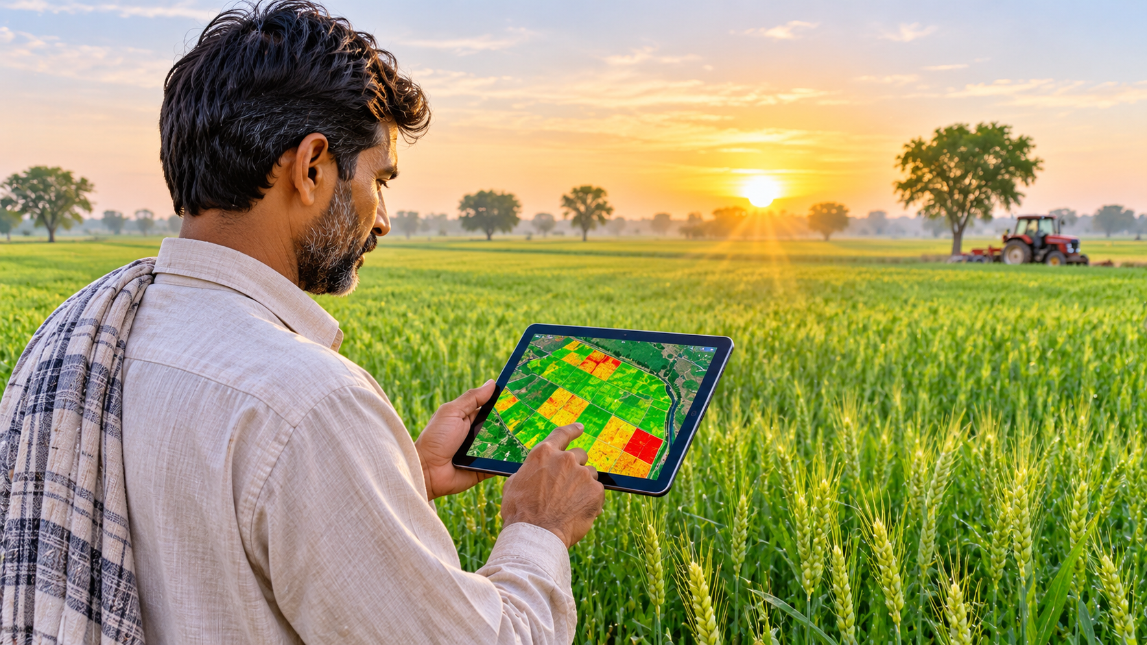
| Climate-smart agriculture uses sustainable farming practices to increase productivity, strengthen resilience to climate change and reduce greenhouse gas emissions. AI improves this approach through satellite monitoring, weather forecasting, precision irrigation and early warning systems, helping farmers make better decisions with available resources. |
Climate-smart agriculture sounds like a big idea, but your question is simple. How do you grow more food when rain, heat and floods keep changing the rules?
Imagine a flood alert reaching your phone days before the river rises. Imagine knowing which field needs water this week, not next month. AI now supports both.
That is where climate-smart agriculture and AI meet. The first gives you clear goals. The second gives you faster, sharper decisions.
However, tools alone fix nothing. Data gaps, high costs and weak local support slow many farmers down. Here is what you need to know, and how to take the first step.
What Climate-Smart Agriculture Means in Practice
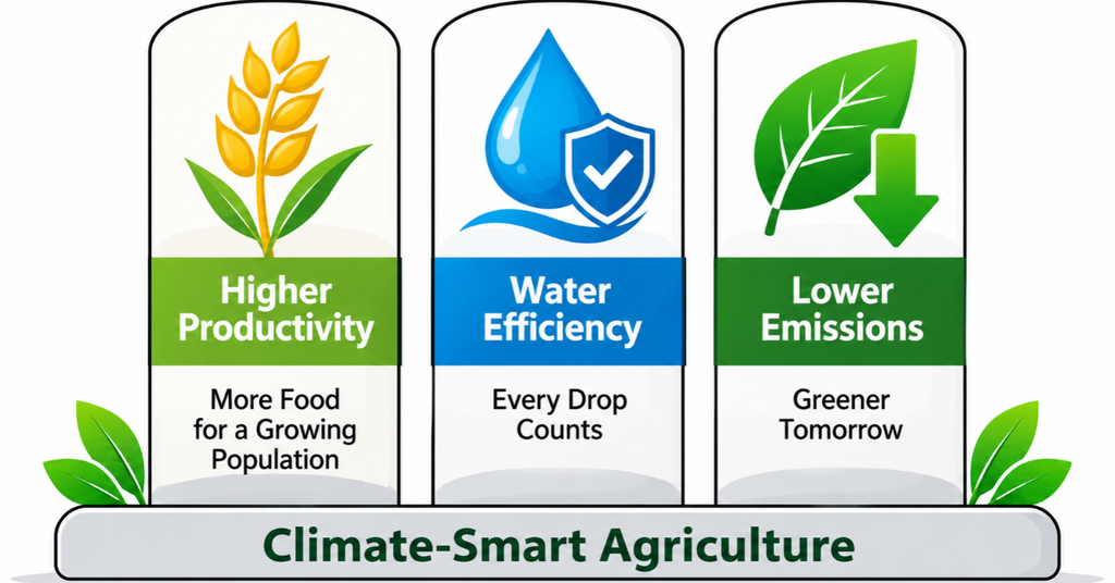
The FAO built the idea around three goals. Farms should raise productivity and income in a sustainable way. They should also build resilience to climate change and cut emissions where possible.
Importantly, one practice rarely delivers all three goals everywhere. The CGIAR guide on climate-smart agriculture explains that a triple win is the ideal, but trade-offs are common. Therefore, the real work is choosing the right mix for your soil, water and market. Done well, it supports sustainable agriculture and climate-resilient agriculture at once.
| Pillar | Goal | Example practice | How AI helps |
| Productivity | Raise yield and income sustainably | Improved seed, balanced nutrients | Crop yield forecasting and stress alerts from satellite imagery |
| Adaptation | Build resilience to floods, drought and heat | Drip lines, flood-ready planting plans | Drought early warning and soil moisture forecasts |
| Mitigation | Cut emissions and store carbon | Cover crops, reduced tillage, agroforestry | Field-level estimates of greenhouse gas emissions and carbon sequestration |
Why Climate-Smart Agriculture Cannot Wait
The numbers explain the urgency. Here is what the evidence shows:
- Disaster losses: The FAO estimates disasters cost crops and livestock about 3.8 trillion dollars over 30 years. That is near 123 billion dollars a year.
- More events: Disasters grew from about 100 a year in the 1970s to roughly 400 a year lately, says the FAO.
- Record heat: The WMO State of the Global Climate 2025 reports that 2015 to 2025 were the eleven warmest years on record.
- Emissions: Food systems caused about 34 percent of human-caused emissions in 2015.
- Pakistan: The 2022 floods affected 33 million people and caused about 1,700 deaths, with widespread damage to agriculture.
As a result, climate adaptation and agricultural resilience are no longer optional. Moreover, the cost of waiting grows with every season.
How AI Strengthens Climate-Smart Agriculture
AI in agriculture does not replace good farming. It sharpens your decisions with data no one could read by hand. Machine learning models turn weather, soil and satellite signals into simple advice.
Early Warning and Flood Forecasting
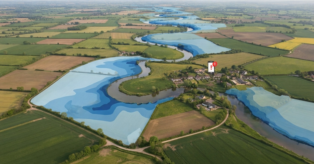
Researchers built an AI model for the flood-prone Kabul River Basin. It forecasts river conditions five days ahead. Older models struggled more with long-term river behavior.
Pakistan’s emergency centre already pulls data from more than 400 satellite constellations. Furthermore, early warning systems pay off. The FAO reports that each dollar spent on early action can return up to seven dollars in benefits.
To see how GIS supports this work, read our guide to flood risk monitoring and early warning.
Precision Irrigation and Water Use Efficiency
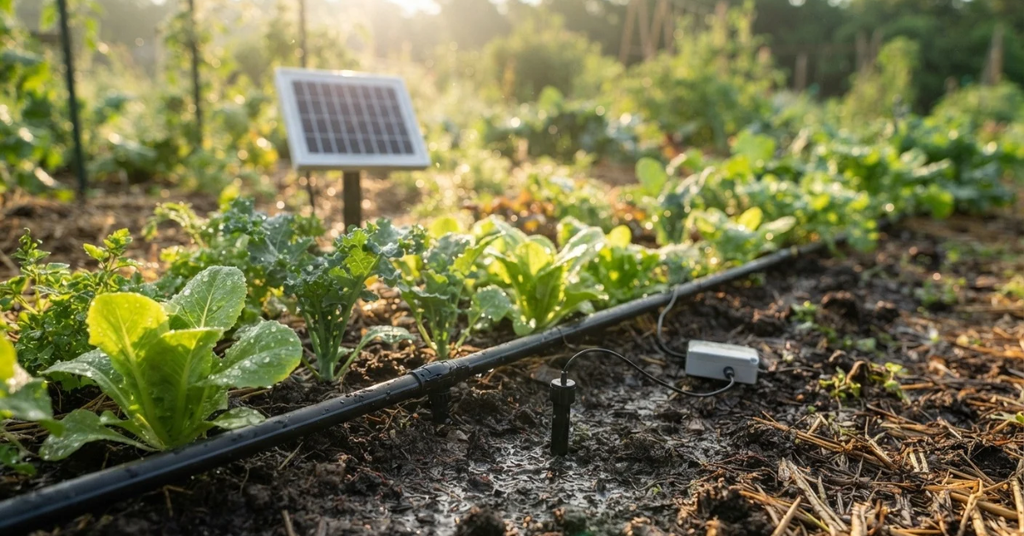
Precision irrigation tools blend soil moisture sensors, weather forecasts and satellite data. A review of European systems reports water savings of about 20 to 40 percent in some settings. However, results depend on the crop, climate and baseline used for comparison.
Therefore, ask for field trial data before you buy. Satellite advice needs no hardware on your farm, so smallholder farmers can use it too. See how GIS-powered environmental monitoring for agriculture maps crop health, soil and water.
Crop Monitoring with Satellites and Drones
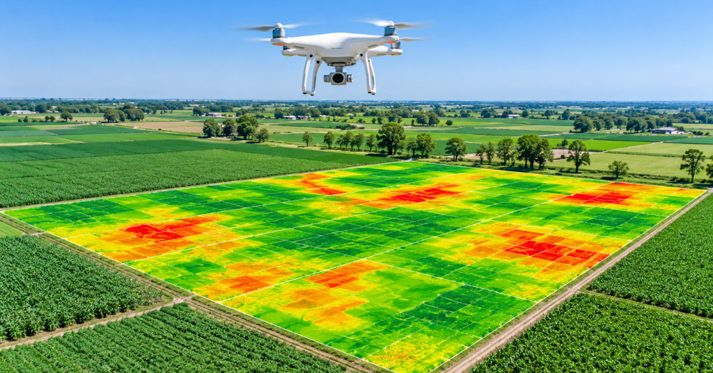
Remote sensing in agriculture spots stress, pests and nutrient problems earlier than the eye can. Machine learning then sorts those signals into clear maps. As a result, you scout the right field first.
One recent preprint review of drone remote sensing calls the technology an operational tool for smallholder systems, where fields vary widely. Our GIS mapping services turn this kind of imagery into planning maps.
Soil Carbon and Emissions Tracking
Farmers often know which climate-smart practices exist. The harder question is which one to use where, and for how long. The USDA-funded AI-CLIMATE institute at the University of Minnesota works on exactly this problem.
Better estimates also help carbon markets pay farmers fairly. In addition, they show which practices cut greenhouse gas emissions on your land.
Take the Next Step with AI-Powered GIS
Discover how AI-powered GIS can map your fields, water and flood risk. Explore our environmental monitoring and agriculture services. You can also learn how our AI geospatial products turn satellite data into decisions. Get started by sharing your project with the AI Geo Navigators team.
Ways to Proceed: A Six-Step Roadmap for Climate-Smart Agriculture
You do not need a large budget to begin. You need a clear order of steps.
- Name your top climate risk. Pick flood, drought, heat or pests. Check local records and seasonal forecasts to confirm it.
- Map your land. Layer soil, slope, water sources and land use in a GIS. This shows where risk and opportunity sit.
- Choose one use case. Start with irrigation timing or early warning alerts. A narrow start is easier to test.
- Pair AI with local knowledge. Ask farmers and extension workers to check every recommendation against what they see in the field.
- Track all three pillars. Record yield and income, resilience to shocks, and emissions or water use. Compare results before and after.
- Scale with training and partners. Add tools only after the first one works. Share costs through cooperatives where you can.
Climate-Smart Agriculture for Smallholder Farmers in South Asia
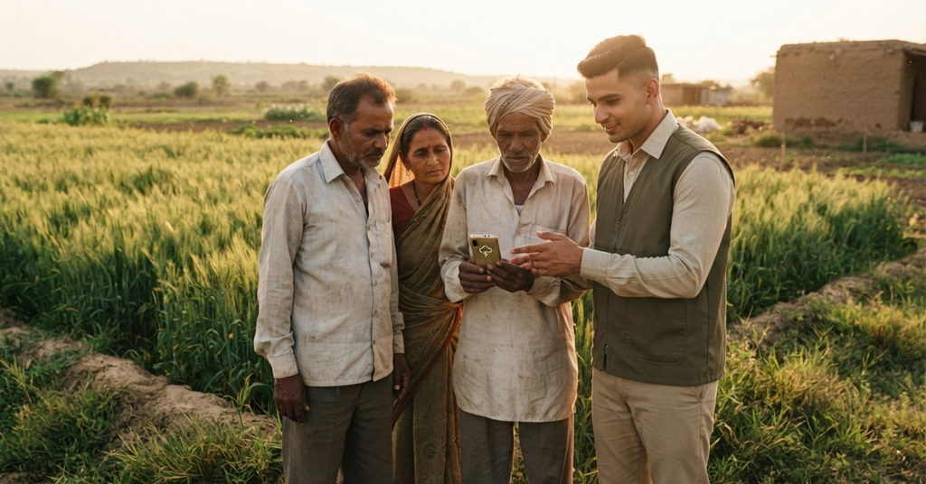
Most guides assume large farms with fast internet. That leaves out the farmers who need help most. Researchers note that AI adoption in climate-smart agriculture is still early in South Asia and Sub-Saharan Africa because of infrastructure, policy and capacity gaps.
However, delivery channels already exist. Pakistan’s NDMA and Jazz have sent more than 300 million digital early warnings. The NDMA app also broadcasts audio alerts in eight regional languages. Therefore, the same channels can carry crop and irrigation advice.
Local knowledge matters just as much. A PIDE study on Pakistan stresses that trained local people drive the goals of smart agriculture. Pair AI maps with extension workers, and the advice lands. For hazard layers and planning tools, see our work on disaster risk management with GeoAI.
Risks and Limits to Plan For
Data quality comes first. A model trained on weak data gives weak advice. Therefore, test every tool on your own fields before you rely on it.
Next, watch the claims. Some vendor posts promise large yield jumps without a published trial. Ask who tested the tool, where, and for how long.
Trade-offs are also real. More fertilizer may raise yield and raise emissions at the same time. In contrast, cover crops may cut emissions but need extra labor.
Finally, protect your data. Know who owns your farm records before you sign up for any service.
Final Thoughts on Climate-Smart Agriculture and AI
Climate-smart agriculture works when good goals meet good data. AI helps you see risks sooner and use water, seed and time more wisely. Your local knowledge still decides what works.
So think about your first step. Pick one risk, one field and one tool, then measure the result. Ready to begin? Visit AI Geo Navigators to explore GIS and AI services, or take action today by reading our GIS guides.
FAQs
1. What is climate-smart agriculture?
Climate-smart agriculture is a farming approach with three goals. It sustainably raises productivity and incomes, builds resilience to climate change, and reduces greenhouse gas emissions where possible. The FAO introduced the concept in 2010. It covers crops, livestock, forestry and fisheries. Farmers choose practices that fit local soil, water and market conditions.
2. What are the three pillars of climate-smart agriculture?
The three pillars are productivity, adaptation and mitigation. Productivity means raising yields and farm income sustainably. Adaptation builds resilience to droughts, floods, heat and pests. Mitigation reduces greenhouse gas emissions and stores more carbon in soils and trees. Ideally, farming practices support all three goals, although trade-offs are common.
3. How does AI help climate-smart agriculture?
AI turns satellite images, weather forecasts and soil sensor data into practical farming decisions. It helps identify crop stress, predict floods, improve irrigation timing and estimate yields. Machine learning also supports soil carbon and emissions monitoring. However, AI works best with reliable local data and farmer knowledge. It supports human judgment rather than replacing it.
4. How can AI predict floods and droughts for farmers?
AI models analyse rainfall, river flow, temperature, soil moisture and satellite data to identify potential climate risks. Researchers have developed models for the Kabul River Basin that forecast flood risk five days ahead. Similar methods monitor rainfall deficits and vegetation health to identify drought conditions. Early warnings give farmers time to protect crops, livestock and seed stocks.
5. What is the difference between climate-smart agriculture and precision agriculture?
Precision agriculture uses sensors, GPS, drones and data to manage individual fields more accurately. Climate-smart agriculture has broader goals: improving productivity, building climate resilience and reducing emissions. Precision tools can support climate-smart farming, but they do not guarantee lower emissions or greater resilience. Climate-smart agriculture evaluates the overall environmental and economic impact of farming practices.
6. Is climate-smart agriculture affordable for smallholder farmers?
It can be affordable when farmers start with practical, low-cost methods such as mulching, crop rotation, improved seeds and better planting dates. Digital tools can deliver advice through SMS, voice alerts and shared services. Cooperatives can also share equipment. However, upfront costs, limited credit and weak infrastructure remain important barriers.
7. What are the challenges of using AI in agriculture?
The main challenges include poor data quality, high costs, limited internet connectivity and a lack of technical skills. AI models trained in one region may not perform accurately in another. Farmers also need clear rules about data ownership. Local testing, training and reliable infrastructure are essential for successful adoption.
8. What role does GIS play in climate-smart agriculture?
GIS maps important agricultural information, including soil type, rainfall, slope, water sources, land use and flood zones. Combined with satellite imagery and AI, GIS helps identify crop stress, monitor environmental risks and plan irrigation and drainage. It also allows farmers and planners to track changes in agricultural conditions over time.