AI Driven Geospatial Products Turning Earth Data into Real Decisions

AI Geo Navigators products combine remote sensing, GIS, and artificial intelligence to monitor climate risks, manage cities, and support sustainability goals.

Climate Insights

Dashboards monitor real-time climate patterns and analyze environmental changes with high-accuracy geospatial data.

Carbon Emission Tracker

Track, calculate, and visualize carbon emissions for industries, cities, and sustainability projects.

Geospatial Analytics Tools

Access advanced GIS visualizations, heatmaps, and spatial layers for data-driven decision-making.

Parcel & Land Mapping

Digitize parcels, assess land use, and generate accurate zoning maps for planning and development.

AI Model Training Suite

Train, deploy, and monitor custom AI models built for climate forecasting and environmental analysis.

Automated Reports Generator

Generate instant environmental reports, sustainability summaries, and spatial analytics outputs.

List of Products

RESIL-AI Urban Decision Engine

ESG Carbon Emission Process Base Calculation

MHVRA-MUZAFFARABAD

Data N Dashboard

Minerals Tracking

MetricFlow

PulseBoard

Upcoming Products

FIRM: Flood Intelligence & Risk Management

Turning Real Time Flood Data into Proactive, Life Saving Decisions

  • Real time river telemetry from 20 plus stations with continuous monitoring

  • Instant flood risk alerts based on live water levels and trend changes

  • Predictive flood mapping to show where flooding is likely to spread

  • Rainfall intensity forecasts using next generation weather models

  • Advanced hydrological analytics for smarter risk assessment

  • Impact insights for at risk populations and critical infrastructure

  • Supports proactive response, better planning, and stronger resilience

ARID: Advanced Resilience and Intelligence for Droughts

Turning Near Real Time Drought Signals into Early, Water Smart Decisions

  • Near real time drought tracking using SPI and SPEI across multiple timescales

  • Interactive map showing station locations and current drought severity

  • Clear spatial patterns to spot hotspots and regional impacts fast

  • Predictive drought outlook with confidence bounds for planning ahead

  • Filters by station, index type, timescale, and date range

  • CSV export for quick sharing and deeper analysis

  • Supports early detection, risk assessment, and smarter water management

AGILE: Autonomous Geospatial Intelligence & Learning Engine

Turning Satellite Earth Observation Data into Clear, Actionable Climate and City Decisions

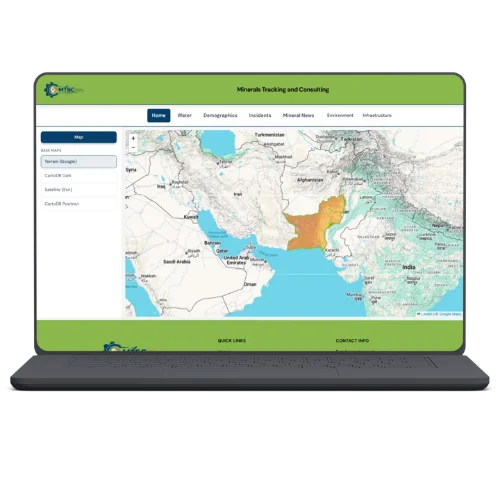
  • Uses satellite data from Sentinel, MODIS, and Landsat for continuous monitoring

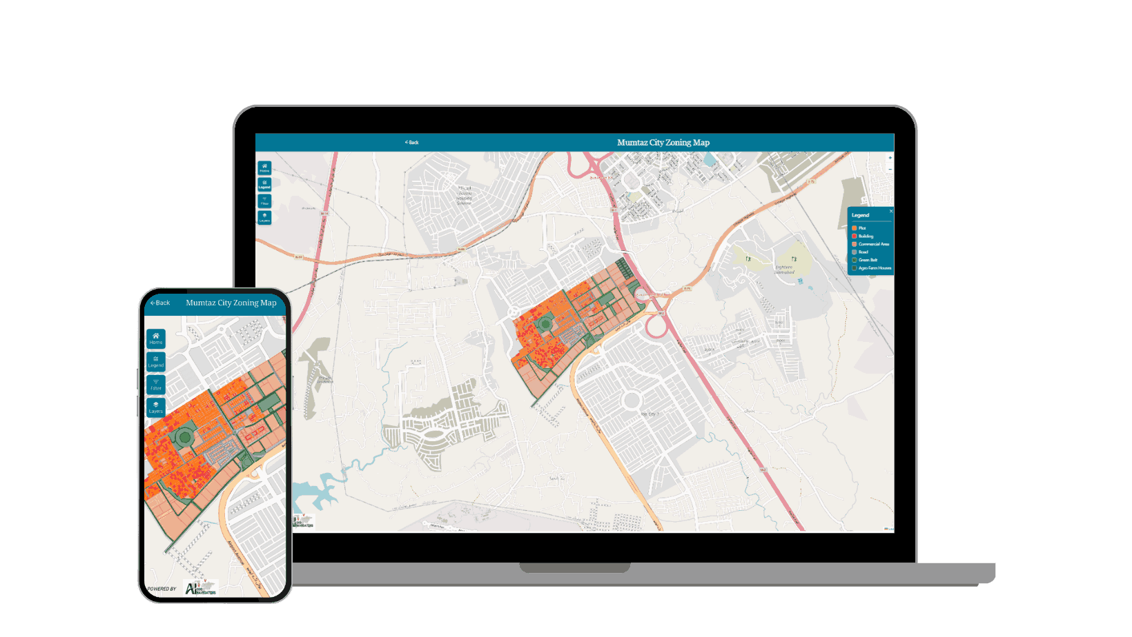
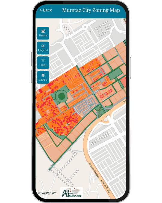
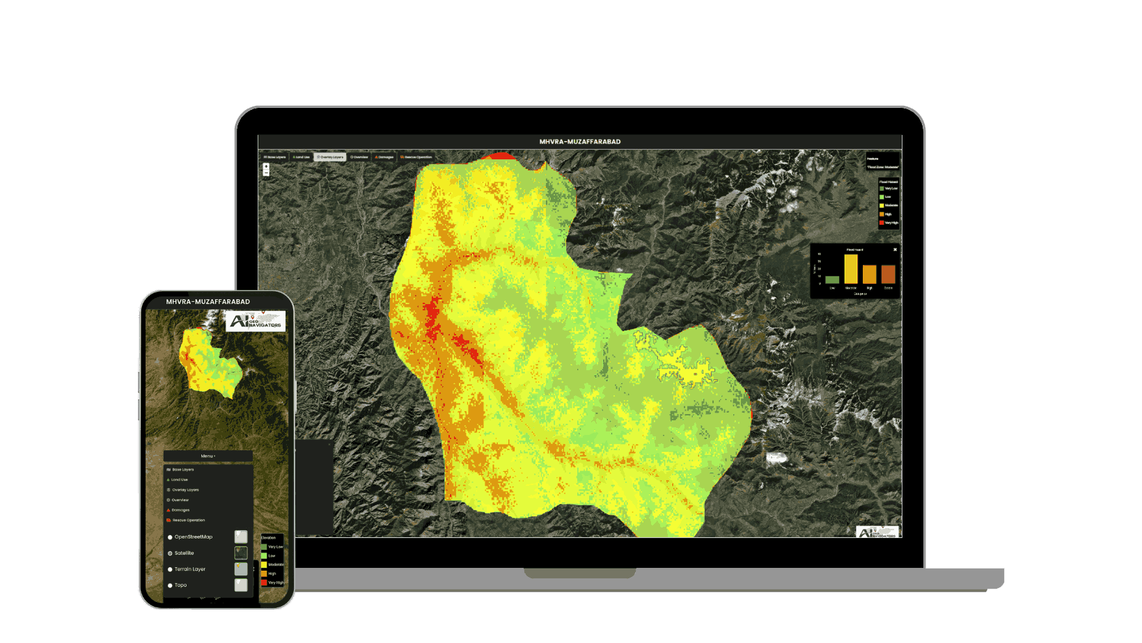
  • Live, interactive map layers for climate, environment, and urban conditions

  • Key layers include NDVI, NDWI, NDBI, LST, AQI, NDSI, floods, drought, coastal erosion, emissions, and UHI

  • Map based interface with heatmaps, color legends, and fast layer switching

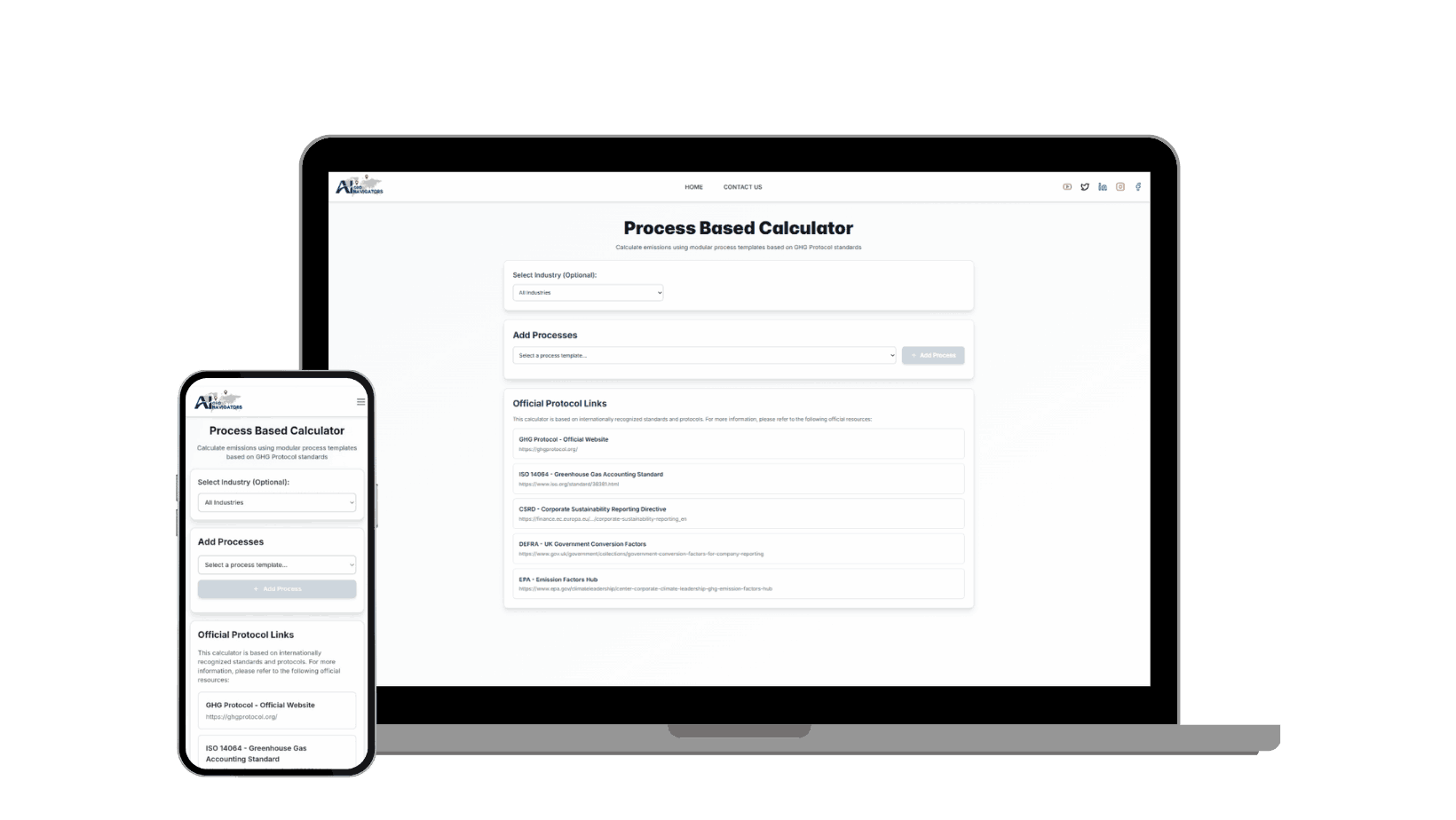
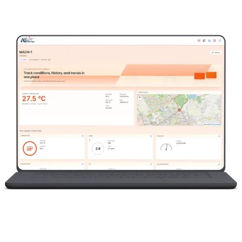
  • Chat driven queries for region specific questions and quick insights

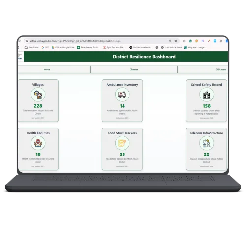
  • Supports environmental monitoring, urban planning, and disaster management

  • Delivers reliable, satellite derived intelligence for early action and better decisions
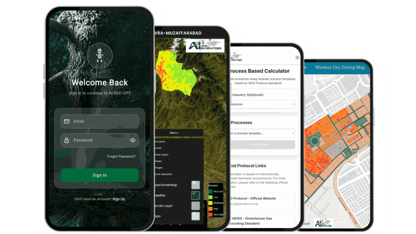
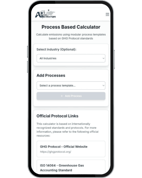


DBO: Digital Brain of Organization

Turning Trusted Climate Knowledge into Clear, Decision Ready Answers

  • Local LLM that works as the organization’s digital brain

  • Trained on the company’s own data, climate datasets, and verified scientific sources

  • Understands complex climate and geospatial questions in plain language

  • Gives science based answers grounded in trusted, internal knowledge

  • Supports risk assessment, trend analysis, and planning decisions

  • Helps teams act faster with reliable, consistent insights

How It Works?

NOVO

An interactive AI assistant for questions around climate change, sustainability, and the UN Sustainable Development Goals, offering clear explanations and guidance.

Provides real time AI driven responses on climate, environment and sustainability topics.

Helps translate complex global sustainability issues into easy-to-understand explanations.

Supports users individuals, organizations or policymakers in understanding environmental challenges and planning climate-aware actions.

RESIL-AI: Urban Decision Engine

A GIS-based dashboard that shows land-use, zoning status and parcel distribution to help visualize which areas are sold, rented or available.

Interactive maps combining parcel data, land use layers, and regulatory overlays.

Helps developers, planners or investors quickly assess land status, plot availability, and property distribution.

Useful for cadastral mapping, land-management, and preventing boundary disputes by offering transparent property records.

ESG Carbon Emission Process Base Calculation

A web-based tool to calculate and analyze emissions helping organizations understand and manage their carbon footprint under ESG metrics.

Calculates carbon emissions (e.g. Scope 1, Scope 2, Scope 3) for companies aiding in full carbon footprint assessment.

Helps businesses prepare ESG reports, align with global sustainability standards, and improve transparency.

Supports strategy development for emissions reduction, carbon credit procurement/offsetting, and long-term sustainability compliance.

MHVRA-MUZAFFARABAD

An interactive GIS based risk-assessment platform that maps hazards and vulnerability to support disaster preparedness and planning.

Users can toggle multiple hazard layers stream lines, fault lines, geology, flood hazard, land use (LULC 2023), elevation, and precipitation to assess vulnerability in specific regions.

The portal displays categorized precipitation zones (Very Low to Very High) along with an interactive bar chart for easy comparison of rainfall values across the district.

Useful for government, NGOs or planners working on disaster risk reduction, emergency management, or climate-resilient infrastructure.

Smart Geospatial Solutions for a Smarter Tomorrow

Our advanced GIS, Remote Sensing, and AI solutions help organizations visualize, analyze, and shape the future with confidence.