We create the base layers every GIS project depends on: parcel maps, digitized records, land cover layers and utility networks. Each dataset is captured, checked and delivered in the format and coordinate system you work in.

Imagery: Sentinel-2 cloudless 2023 by EOX IT Services, modified Copernicus Sentinel data (CC BY 4.0). Terrain: SRTM via AWS Terrain Tiles. Roads and buildings: © OpenStreetMap contributors (ODbL).
41,368
parcels mapped for Gujranwala District land records
60
mouzas covered in that single cadastral program
52days
to complete it, from 23 January to 16 March 2025
3
ISO certifications for quality, security and environment
Each layer is built for a purpose: a land record, a utility register or a planning base. We set accuracy targets, attributes and a coordinate system with you before capture starts.
Parcel boundaries traced, attributed and tied to land records, mouza by mouza, ready for revenue and registry teams.
Paper maps, scanned sheets and old CAD drawings turned into clean vector layers with topology checked.
Historic sheets, survey plans and imagery placed in their true position using ground control and known points.
LULC maps classified from Sentinel-2 and Landsat scenes, checked against field samples and drawn to your class scheme.
Roads, water lines, power networks and public facilities mapped as connected layers your asset teams can update.
GNSS survey and UAV flights that collect fresh ground data where maps are missing, old or disputed.
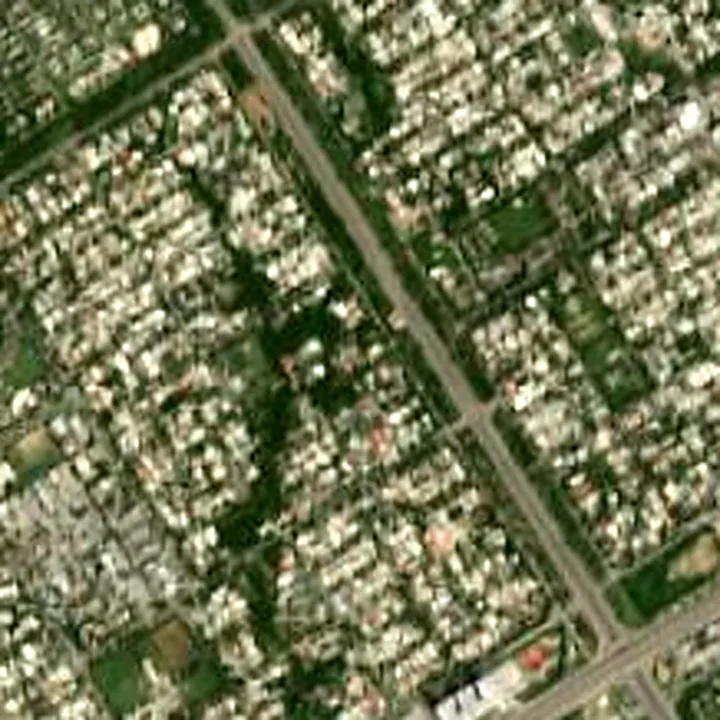
Same block of Islamabad, twice. On the left, a Sentinel-2 satellite scene. On the right, the building footprints and road network as structured GIS layers.
Drag the handle to compare. This is the step that turns pictures into data your systems can query, count and update.
Imagery: Sentinel-2 cloudless 2023 by EOX IT Services, modified Copernicus Sentinel data (CC BY 4.0). Terrain: SRTM via AWS Terrain Tiles. Roads and buildings: © OpenStreetMap contributors (ODbL).
Base data sits under almost every land, utility and planning decision. These are the teams we build it for.
Parcel layers that match the ground and the register, so land offices can settle boundary questions and update records with confidence.
Current building, road and land use layers that give planners an accurate base for master plans and zoning work.
Network layers for water, sewer and power assets, so maintenance crews and engineers work from the same map.
Topographic survey and repeat drone mapping that show site progress and ground conditions, like our ongoing work in Al Jubail.
Data production lives or dies on checks. Our five stages put quality control inside the work, not at the end of it.
We fix the area, layers, attributes, accuracy target and coordinate system in writing.
Data specification
GNSS survey, drone flights, satellite scenes and your existing maps and registers.
Raw source data, indexed
Our team draws, codes and links every feature to its records and source.
Draft layers by area
Topology rules, field spot checks and record matching before any area is signed off.
QC log and fixed errors
Final layers, metadata and a short guide so your team can maintain them.
Data, metadata and guide
We choose the data source and the software to fit the job, then deliver in formats your team can open.
Send us the area, the layers you need and what you already hold. We will reply with a specification and a quote.
