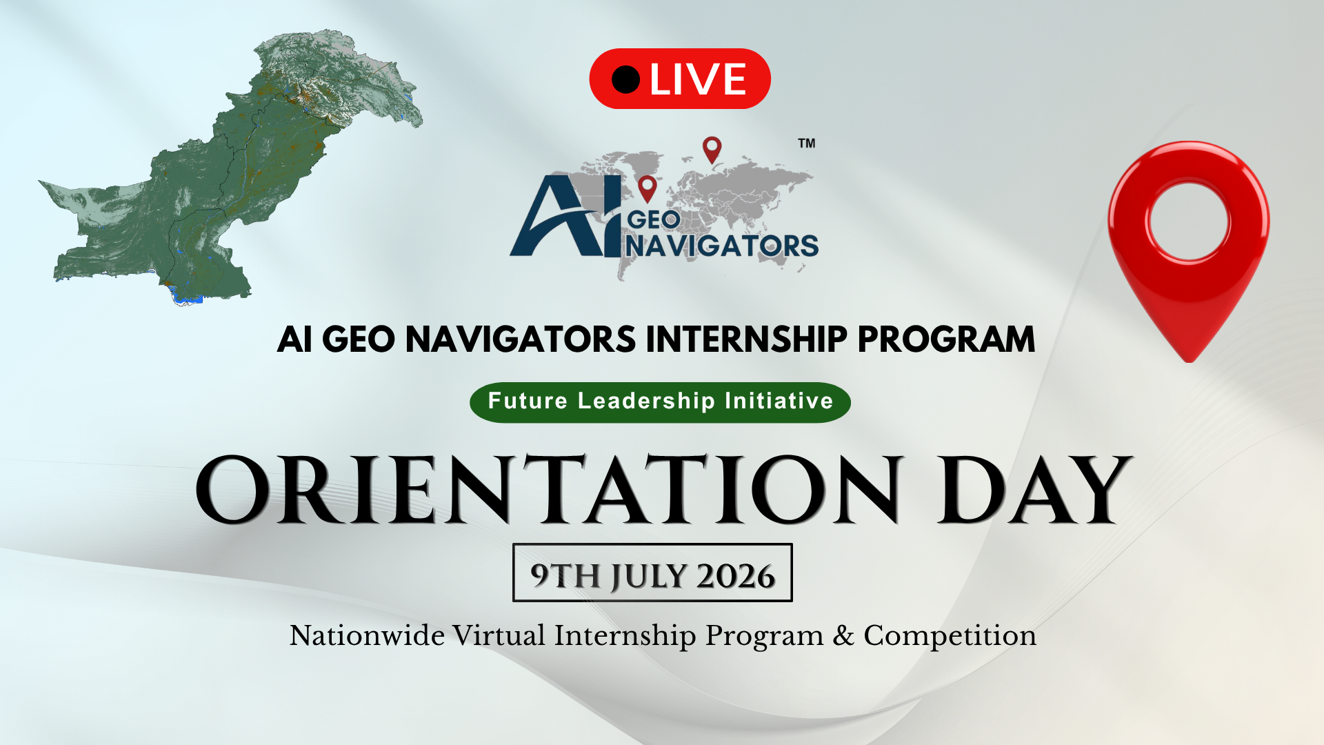
The much-anticipated Orientation Session for the AI Geo Navigators Internship Program 2026 – Future Leadership Initiative was successfully held on July 9, 2026. This marked the official launch of one of Pakistan’s most ambitious nationwide virtual internship and competition programs focused on AI, GIS, Remote Sensing, and Climate Intelligence.
Hundreds of enthusiastic students, graduates, and early-career professionals joined the live session on YouTube, eager to begin an eight-week journey of practical learning, mentorship, and real-world problem-solving.
Watch the Full Orientation Session Recording Here
Table of Contents
ToggleWhy This Program Matters for Pakistan
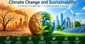
Pakistan faces increasing climate challenges from floods and droughts to the need for better disaster risk reduction and sustainable development. The AI Geo Navigators Future Leadership Initiative addresses this gap by building a skilled workforce capable of turning geospatial data and AI into actionable insights for decision-makers.
This is not a typical theoretical internship. Participants will gain hands-on experience in hazard mapping, risk assessment, data analytics, spatial intelligence, and AI-driven climate solutions.
Highlights from the Orientation Session
The session featured inspiring talks and detailed briefings from the AI Geo Navigators leadership team:
- Musfira Akash, Program Manager — Welcomed participants and introduced the company’s mission in geospatial technology, AI, and climate intelligence. She outlined the agenda and emphasized the shift from classroom knowledge to industry-ready skills.
- Asim Javed, CEO — Delivered a powerful motivational address. He stressed that Pakistan’s greatest asset is its youth and shared why the company is investing in incentives, mentorship, and real industry exposure instead of charging fees like many other programs. Key takeaways:
- Develop a critical eye – Question, analyze, and improve systems.
- Focus on discipline and followership before leadership.
- Build skills that lead to actual jobs and leadership roles by age 30.
- Treat the program seriously to turn knowledge into career opportunities.
- Anmol Asim, Co-Founder — Highlighted the company’s work in combining AI with GIS and remote sensing to create actionable climate insights. She invited participants to join the mission of building a more resilient Pakistan through technology and capacity building.
- Other team members (Fa Haider, Tania Shah, Ali Khan) presented company achievements, program tracks, tasks, deliverables, evaluation criteria, mentorship opportunities, and learning resources.
The session ended with a Q&A, giving participants clarity on expectations for the coming weeks.
Program Structure and Key Details
- Duration: 8 weeks (fully virtual)
- Focus Areas: GIS, Remote Sensing, AI/ML, Climate Risk Assessment, Hazard Mapping, Data Analytics
- Rewards:
- 1st Place: PKR 50,000
- 2nd Place: PKR 40,000
- 3rd Place: PKR 30,000
- Every participant: PKR 5,000 + Certificate of Completion
- Final Event: National Symposium and Results on September 10, 2026
Who Can Participate?
Open to Pakistani citizens enrolled in BS, MS, or PhD programs, as well as recent graduates and early-career professionals (less than 5 years experience) passionate about geospatial technologies and climate action.
How to Stay Updated
- Watch the full orientation recording for all details and inspiration.
- Follow AI Geo Navigators on social media for weekly updates, resources, and announcements.
- Prepare for hands-on tasks that will challenge you to think like industry professionals.
This internship is more than training. It’s a launchpad for Pakistan’s future leaders in AI and geospatial sciences. The energy at the orientation session showed that the next generation is ready to tackle real challenges with data, innovation, and determination.Are you ready to become one of Pakistan’s next AI and Geospatial leaders?
The journey has officially begun.Watch Orientation Session: YouTube Live Recording