
Remote Sensing Services: 10 Techniques Experts Actually Use
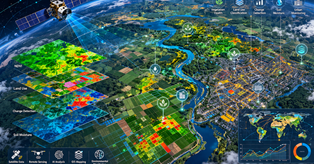
Remote sensing is the science of collecting data about the Earth’s surface from a distance, using satellites, drones, and aircraft. No field team required. No physical contact needed. Just data, faster, wider, and deeper than any ground survey can deliver. Today, remote sensing services go far beyond basic satellite images. They detect ground movement at […]
GIS Mapping Services: Enabling Smarter Geospatial Insights
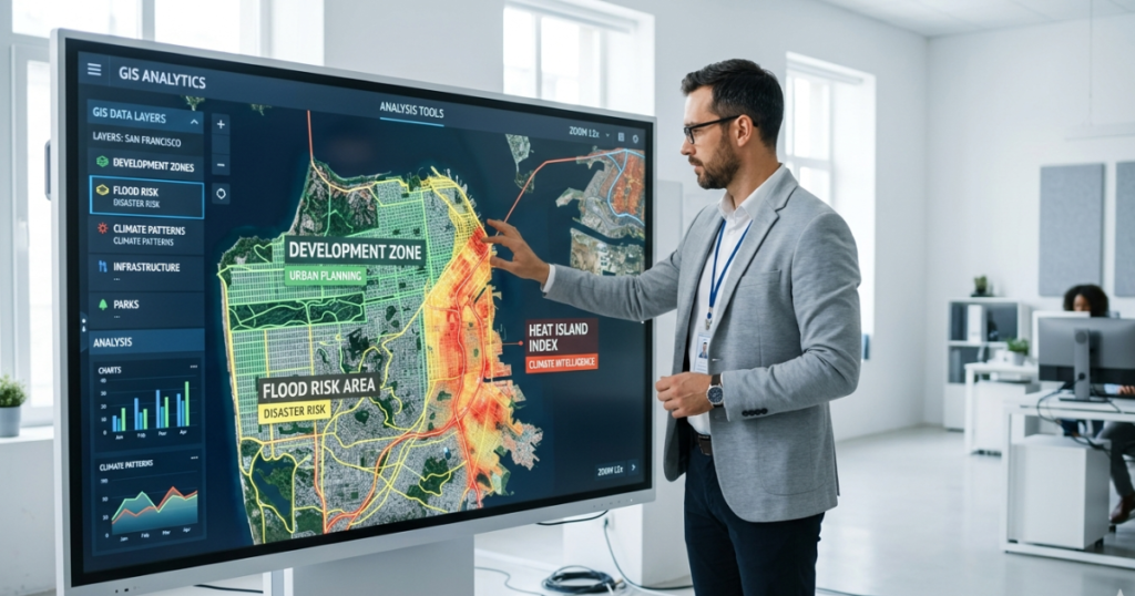
GIS mapping services exist for one reason: because data without insight is just noise. Every organization reaches a moment when the maps, spreadsheets, and reports stop being useful. Not because the data is wrong, but because nothing is connecting it into a decision anyone can actually act on. A planner still doesn’t know where to […]
AI GIS Mapping Services: 6 Key Applications & Benefits

Quick Answer: AI GIS mapping services combine machine learning, remote sensing, and spatial analytics to turn raw geospatial data into decision-ready intelligence. Beyond showing what exists on a map, they can classify land cover, detect change, and support forecasts for floods, deforestation, and infrastructure planning. Depending on the workflow and data volume, they can automate […]
Climate Intelligence: How GeoAI Is Transforming Climate
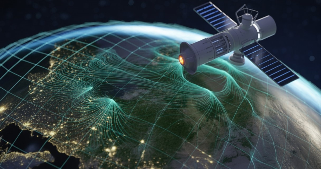
Quick answerClimate intelligence is the process of turning climate and environmental data into decisions about risk, resilience, mitigation, and adaptation. It draws on satellite imagery, sensor readings, and climate model outputs.GeoAI (geospatial artificial intelligence) is one of its main engines. It applies machine learning to maps and satellite data to locate, measure, and monitor hazards, […]
Environmental Change in Gilgit-Baltistan: Climate Change, Deforestation & GLOF Risks
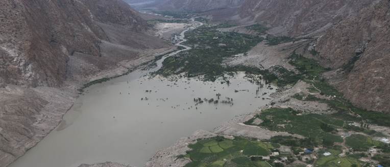
Gilgit-Baltistan (GB) is one of the most fragile and climate-sensitive mountain areas in the world. It sits at the meeting point of the Karakoram, Hindu Kush, and western Himalayas. This region is home to some of the largest glaciers outside the polar regions, including parts of the extensive Karakoram ice fields. These glaciers supply water […]
GIS Specialists: 5 Surprising Ways They Fight Climate Change
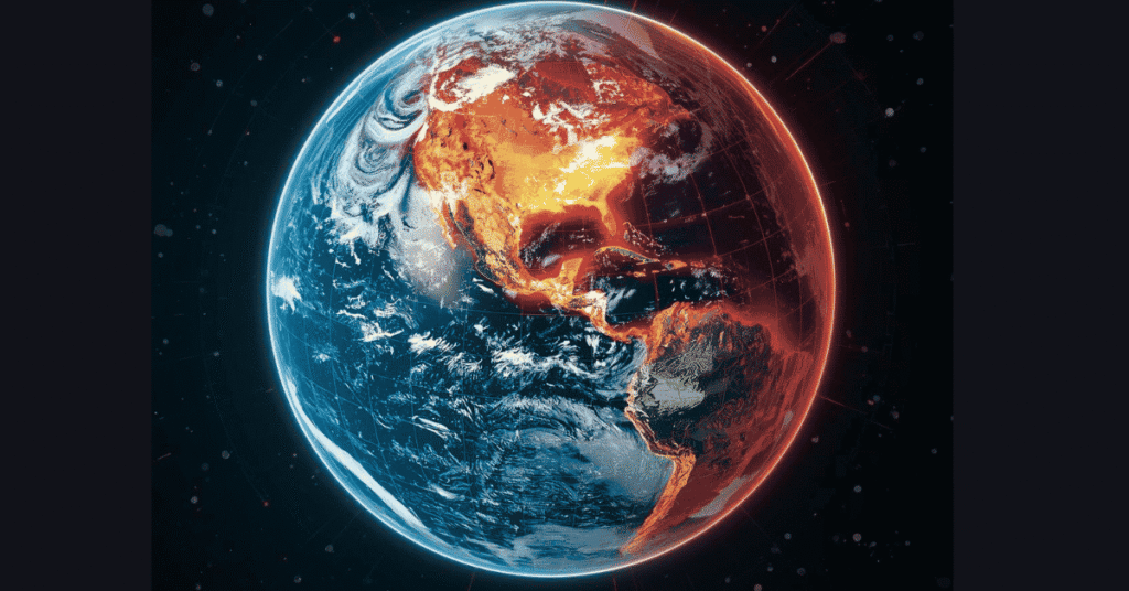
Quick Answer: How Do GIS Specialists Fight Climate Change? A GIS specialist uses maps, satellite imagery, remote sensing, and spatial analysis to identify, monitor, and manage climate risks. By combining geospatial data with tools like ArcGIS, QGIS, and Google Earth Engine, GIS specialists help governments and communities predict floods, site renewable energy projects, track deforestation, […]
Why Climate Finance Matters for Developing Countries
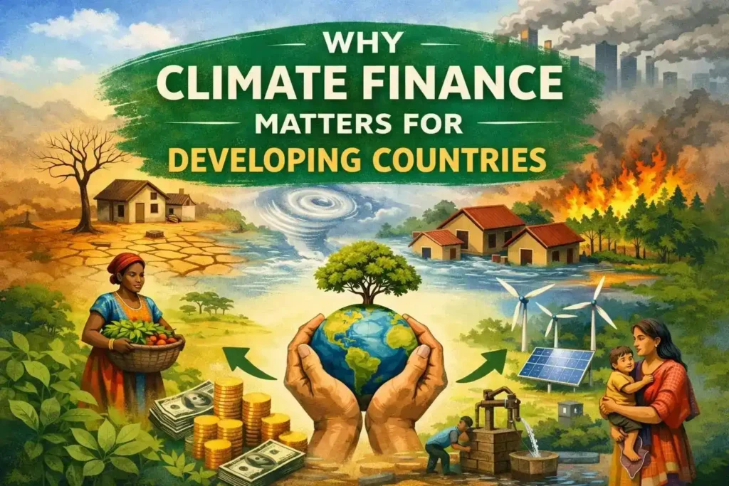
Introduction Climate Finance plays a critical role in enabling developing nations to address multifaceted challenges posed by climate change, encompassing both mitigating greenhouse gas emissions and adapting to unavoidable climate impacts. Despite contributing minimally to global emissions, developing countries often bear the brunt of climate change, experiencing severe consequences such as floods, drought, glacier melt, […]
From Glaciers to Governance: Addressing Water Management Challenges in Gilgit Baltistan under Climate Change
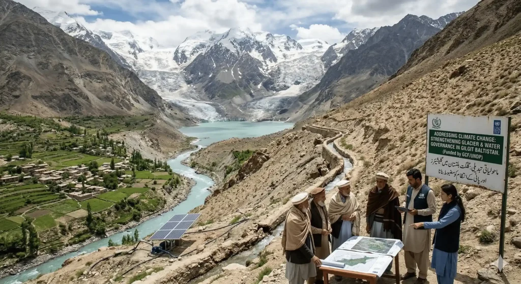
Introduction: Water is essential for mountain communities in Gilgit Baltistan. The region, fed by glaciers, seasonal snowmelt, and high-altitude streams, is part of the upper Indus Basin, one of South Asia’s most important water sources. But climate change is quickly altering these delicate water systems. Higher temperatures, changes in rainfall, and more unpredictable weather are […]
GeoAI for Disaster Risk Prediction: Real World Methods and Tools
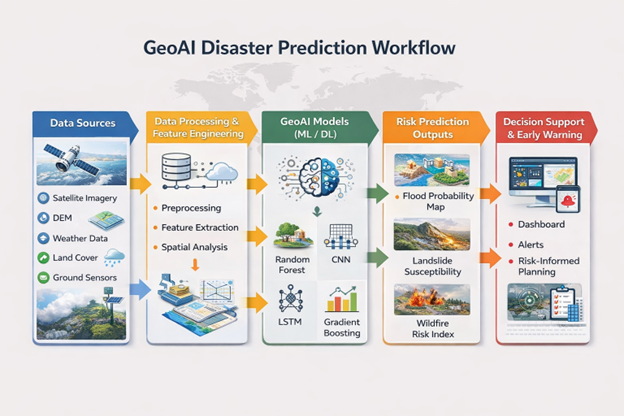
The frequency of natural disasters are increasing rapidly, both in terms of their number and severity. Floods, for example, are catching urban areas totally unexpected, landslides are becoming more frequent in mountainous terrains, wildfires are spreading across arid zones, and heatwaves are becoming more prolonged. All these hazards are becoming more severe due to climate […]
Nature-Based Solutions | Collaborating with Natural Systems for Sustainable Outcomes
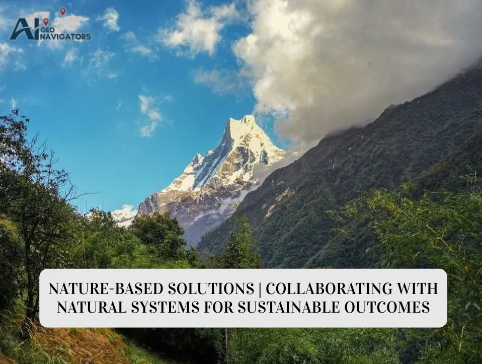
Introduction: Climate change has emerged as one of the defining challenges of the twenty-first century. Rising global temperatures, intensifying storms, prolonged droughts, accelerating sea-level rise, and widespread ecosystem degradation are no longer distant threats; they are living realities for millions of people worldwide (IPPC,2022). In response, societies have traditionally employed heavy solutions such as dams, […]