
GIS Mapping Services: Enabling Smarter Geospatial Insights
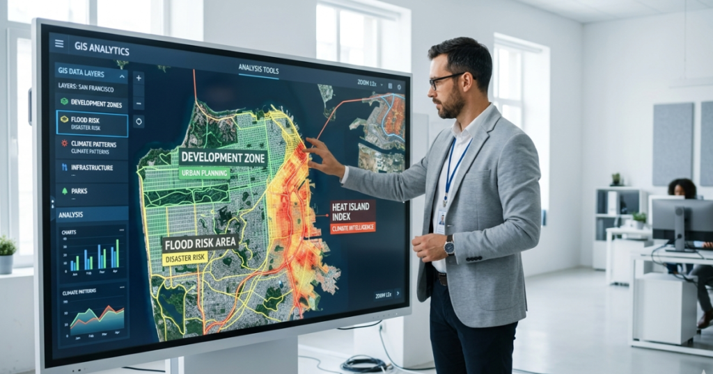
GIS mapping services exist for one reason: because data without insight is just noise. Every organization reaches a moment when the maps, spreadsheets, and reports stop being useful. Not because the data is wrong, but because nothing is connecting it into a decision anyone can actually act on. A planner still doesn’t know where to […]
AI GIS Mapping Services: 6 Key Applications & Benefits

Quick Answer: AI GIS mapping services combine machine learning, remote sensing, and spatial analytics to turn raw geospatial data into decision-ready intelligence. Beyond showing what exists on a map, they can classify land cover, detect change, and support forecasts for floods, deforestation, and infrastructure planning. Depending on the workflow and data volume, they can automate […]
Climate Intelligence: How GeoAI Is Transforming Climate
Quick answerClimate intelligence is the process of turning climate and environmental data into decisions about risk, resilience, mitigation, and adaptation. It draws on satellite imagery, sensor readings, and climate model outputs.GeoAI (geospatial artificial intelligence) is one of its main engines. It applies machine learning to maps and satellite data to locate, measure, and monitor hazards, […]
GIS Specialists: 5 Surprising Ways They Fight Climate Change
Quick Answer: How Do GIS Specialists Fight Climate Change? A GIS specialist uses maps, satellite imagery, remote sensing, and spatial analysis to identify, monitor, and manage climate risks. By combining geospatial data with tools like ArcGIS, QGIS, and Google Earth Engine, GIS specialists help governments and communities predict floods, site renewable energy projects, track deforestation, […]