Water Access and Quality Analysis with Temporal Variation using Geographic Information System (GIS) in District Quetta Balochistan
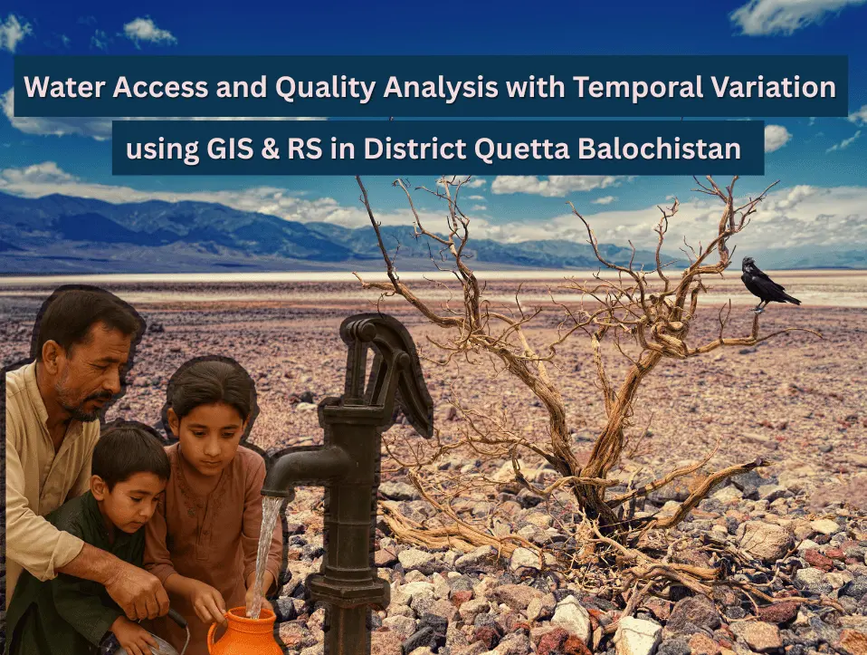
Water is one of basic needs and essential for all living things to stay alive, such as, human beings, animals, birds and plants all need water. But a standard quality of water for this particular need is necessary and crucial to be measured before use. Water Quality can be defined as the chemical, physical and […]
AI Geo Navigators | Best GIS Company in USA
At AI Geo Navigators, we proudly serve as a Best GIS company in USA, offering remote geospatial services with precision, innovation, and efficiency. Though we are based in Pakistan, our team is fully equipped to deliver customized GIS solutions to businesses, government agencies, and engineering firms remotely, helping them make smarter decisions with the power […]
3D Modeling in GIS: Revolutionizing Spatial Analysis and Urban Planning
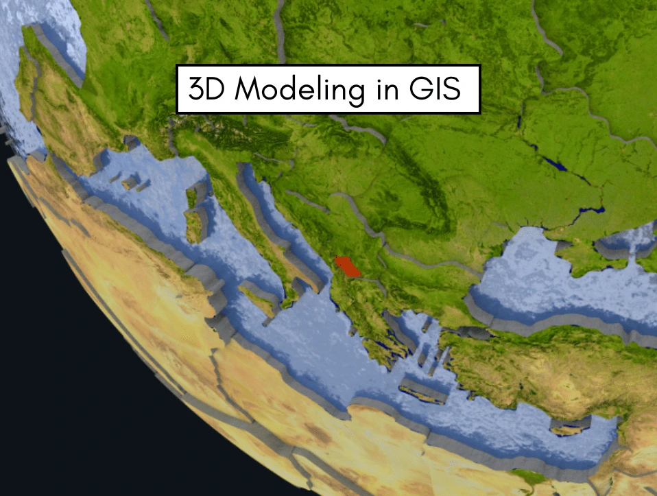
By incorporating elevation, depth, and height into geographic representations, 3D GIS modelling is completely changing how we interpret spatial data. As real-world spatial issues and urban development requirements become more complicated, 3D GIS offers a more sophisticated and immersive viewpoint than conventional 2D GIS systems. These improvements facilitate better stakeholder communication, analysis, and decision-making. 3D […]
How to Conduct a GIS Survey | Step By Step Guide
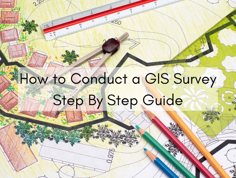
Geographic Information Systems (GIS) are transforming how we gather, manage, and analyze spatial data. Whether for urban planning, environmental monitoring, infrastructure development, or resource management, GIS surveys are critical for making informed decisions backed by geographic intelligence. Conducting a successful GIS survey involves careful planning, data collection, processing, and analysis—all grounded in accuracy and purpose. […]