Applications of GIS and Remote Sensing in Geology, Rock Mechanics, and Rock Classification
Geology plays a vital role in understanding Earth structure, resources, and hazards. Within this domain, rock mechanics and rock classification are essential for civil engineering, mining, natural hazard management, and environmental sustainability. With the advancement of technology, Geographic Information Systems (GIS) and Remote Sensing (RS) have become powerful tools that complement traditional field methods, providing […]
Using GIS and Remote Sensing to Monitor Erosion and Landslides
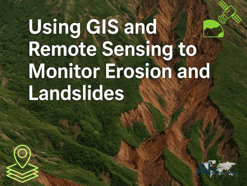
Soil erosion and landslides are among the most serious natural hazards affecting mountainous and hilly regions worldwide. These processes threaten human lives, damage infrastructure, and reduce land productivity. Traditional field-based monitoring is often limited by accessibility, time, and cost. To overcome these challenges, Geographic Information Systems (GIS) and Remote Sensing provide powerful tools to observe, […]
Vegetation Indices for Agricultural Drought Monitoring Using Remote Sensing & GIS
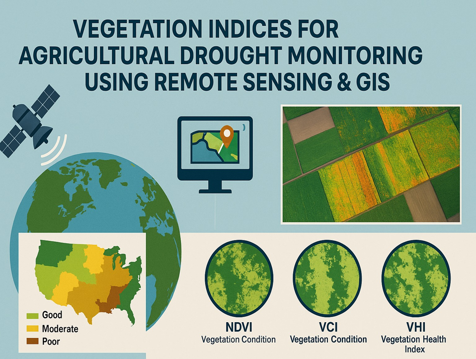
Agricultural drought is a major environmental and socio-economic challenge that threatens global food security. Traditional drought monitoring methods relying on ground-based observations are often limited in coverage, costly, and time-consuming. Remote sensing combined with Geographic Information Systems (GIS) provides a powerful and cost-effective approach to monitor agricultural drought across different spatial and temporal scales. Vegetation […]
Glacial Lake Outburst Floods (GLOF) Causes, Impacts, and Geospatial Monitoring Approaches
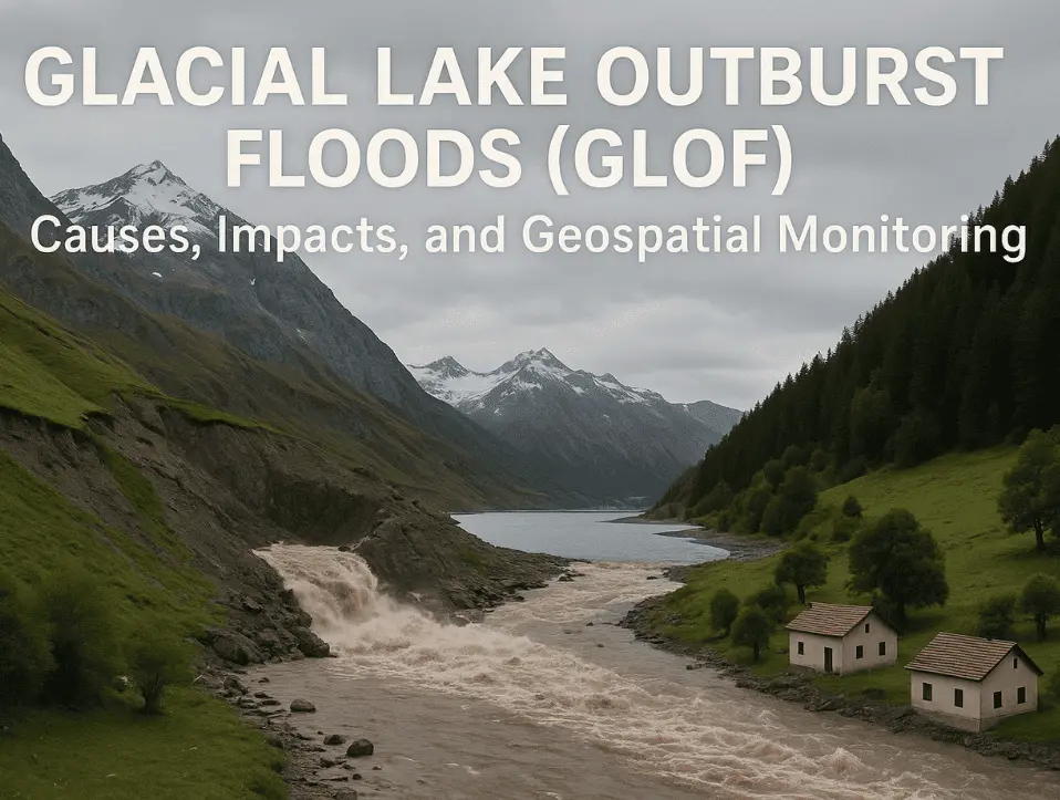
Glacial Lake Outburst Floods (GLOF) happen when a glacial lake suddenly bursts and releases a huge amount of water. This usually occurs when the natural walls holding the lake made of ice, rocks, or loose soil break down. These floods are among the most dangerous disasters in mountain areas like the Himalayas, Karakoram, Hindu Kush, […]
Artificial Intelligence (AI) Application in GIS and Remote Sensing
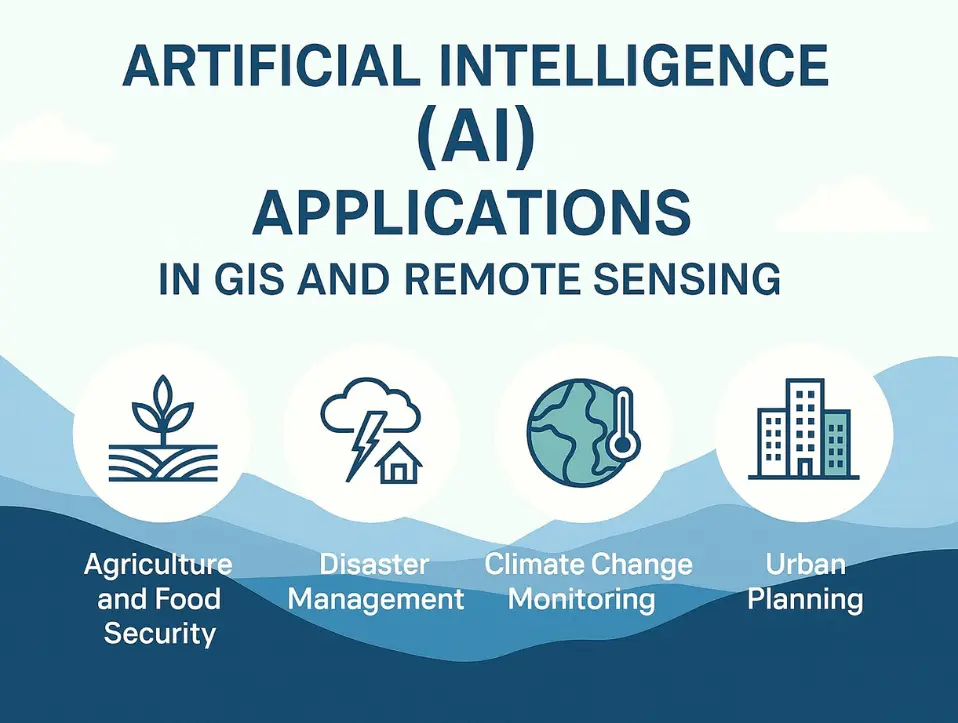
Geospatial technologies have become essential tools for understanding, analyzing, and solving complex challenges in today’s world. Geographic Information Systems (GIS) and Remote Sensing (RS) provide powerful means to capture, store, analyze, and visualize spatial data. However, the rapid increase in the availability of satellite imagery, drone-based surveys, LiDAR datasets, and geospatial big data has created […]
Coastal Zone Management in Pakistan by using GIS & Remote Sensing Solutions for Erosion, Pollution, and Habitat Protection
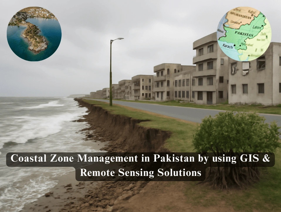
Pakistan’s coastline, stretching from the Arabian Sea to the Makran Coast, including key coastal cities like Karachi, is home to critical marine ecosystems and supports essential industries such as fishing, shipping, and tourism. The coastline also includes important regions like the Indus Delta, Gwadar, and the Makran Coast. These areas are vital for biodiversity, providing […]
Flood Risk Monitoring and Early Warning using GIS and Remote Sensing
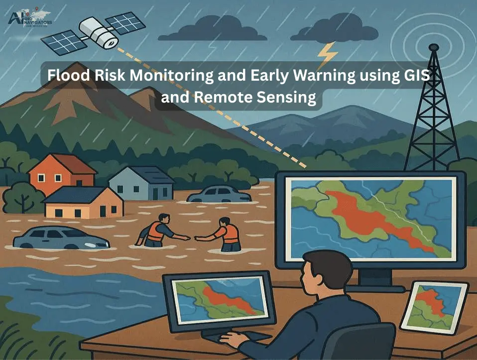
Flooding is one of the most common hydro-meteorological hazards, affecting millions of people every year. Rapid urbanization, deforestation, poor drainage systems, and climate variability have increased the frequency and intensity of flood events in many parts of the world. Traditional flood monitoring methods often lack timeliness and accuracy, making it difficult to prepare and respond […]
GIS and Remote Sensing Applications for Housing Planning in Gilgit-Baltistan, Swat, and Chitral, Pakistan
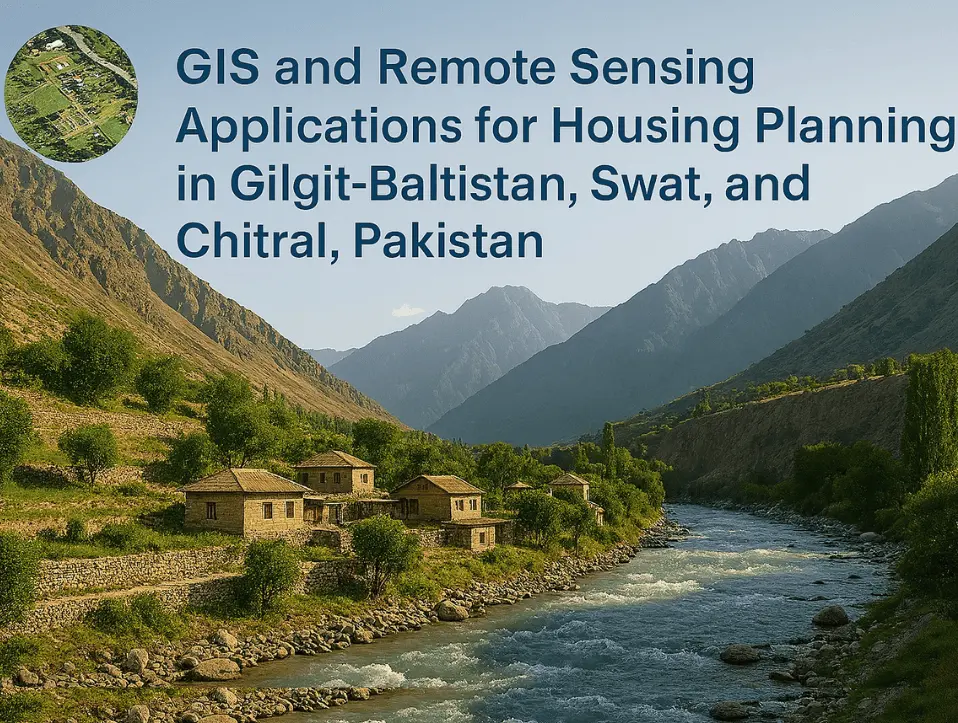
The region of Gilgit-Baltistan, Swat, and Chitral Pakistan is highly vulnerable to natural hazards including landslides, flash floods, and seismic activity due to its rugged terrain, fragile geology, and changing climate. As communities continue to expand in these high-risk zones, the need for safe, sustainable housing has become increasingly urgent. the application of geo-spatial technologies […]
Water Access and Quality Analysis with Temporal Variation using Geographic Information System (GIS) in District Quetta Balochistan
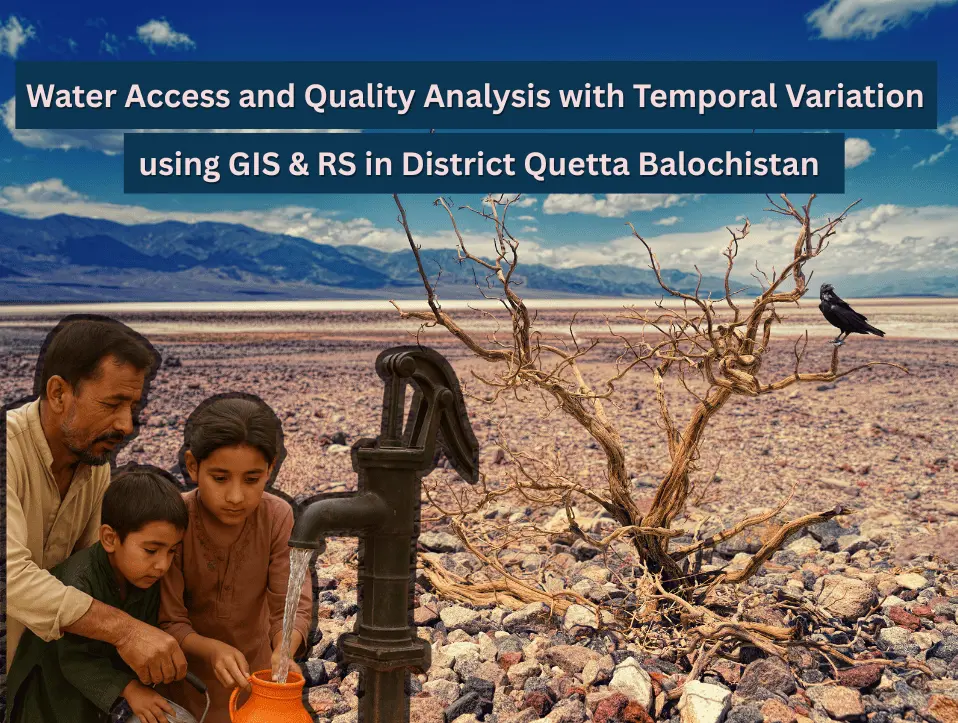
Water is one of basic needs and essential for all living things to stay alive, such as, human beings, animals, birds and plants all need water. But a standard quality of water for this particular need is necessary and crucial to be measured before use. Water Quality can be defined as the chemical, physical and […]
AI Geo Navigators | Best GIS Company in USA
At AI Geo Navigators, we proudly serve as a Best GIS company in USA, offering remote geospatial services with precision, innovation, and efficiency. Though we are based in Pakistan, our team is fully equipped to deliver customized GIS solutions to businesses, government agencies, and engineering firms remotely, helping them make smarter decisions with the power […]