Get the mapping support you need to confidently plan, manage, and grow.
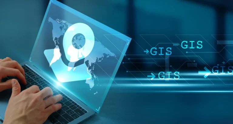
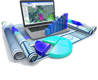
Our GIS capabilities are designed to deliver high accuracy, seamless integration, and operational efficiency across every sector we serve. Explore our end-to-end geospatial solutions—from smart mapping and validation to dynamic dashboards and Ai-powered insights.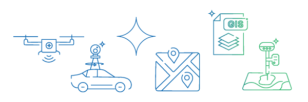
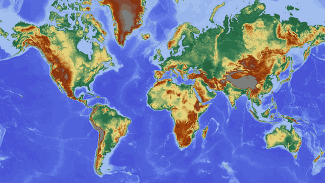
High quality geospatial data production delivering accurate, decision ready datasets for planning, monitoring, and risk analysis.
• Urban and regional geospatial data generation
• Satellite and remote sensing based data processing
• Land use and land cover mapping
• Climate and environmental data modeling
• Infrastructure and utility mapping
• Disaster risk and hazard data preparation
• Spatial change detection and trend analysis
• Decision ready geospatial datasets for planning and resilience

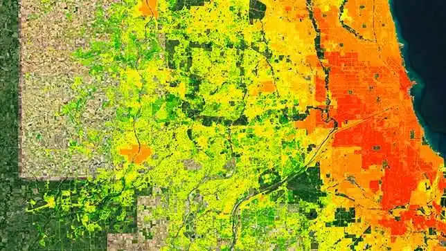
Satellite and aerial image analysis transforming raw imagery into actionable insights for monitoring and management.
● Satellite image processing and analysis
● Land use and change detection
● Vegetation, water, and soil analysis
● Disaster and hazard mapping
● AI based image classification
● Environmental and climate monitoring

Scalable spatial data systems and web platforms enabling secure storage, access, and visualization of geospatial information.
● Spatial database design and management
● PostGIS and enterprise geodatabases
● Web GIS application development
● Real time spatial data integration
● Interactive map services and dashboards
● Secure and scalable data architecture
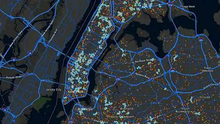
Clear and effective maps and visual tools that turn complex spatial data into meaningful insights.
● Thematic and topographic mapping
● Custom cartographic design
● Interactive map visualization
● Dashboards and spatial storytelling
● Print and digital map products
● Data driven visual communication

GIS driven decision support systems for planning, risk management, and sustainable development.
● Spatial decision support systems
● Urban and infrastructure planning analysis
● Environmental risk and suitability modeling
● Climate adaptation and resilience planning
● Scenario analysis and impact assessment
● Policy and planning support tools

Expert guidance helping organizations design, optimize, and scale geospatial systems effectively.
● GIS strategy and system design
● Data integration and workflow optimization
● Spatial analysis and modeling support
● Capacity building and technical advisory
● GIS implementation and modernization
● Enterprise GIS consulting
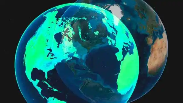
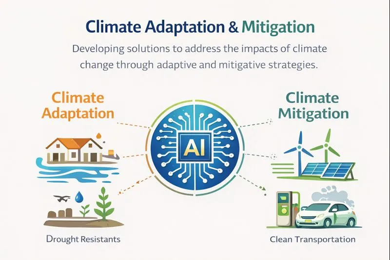
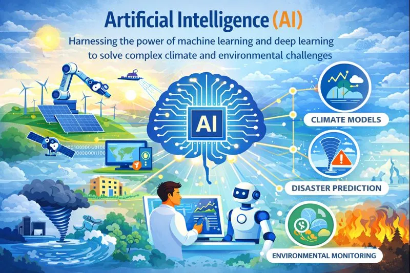
AI Geo Navigators is a climate-intelligence and geospatial firm specializing in converting climate and environmental data into actionable insights by integrating artificial intelligence (machine and deep learning) into GIS, remote sensing, and traditional data analytics.

We offer end-to-end geospatial and mapping solutions. From infrastructure planning to urban navigation, our web-based GIS tools provide real-time insights.
Our GIS-powered water resource planning services enable efficient management of surface and groundwater assets.
Our GIS-based solutions help improve accessibility, reduce travel time, and support smarter decision-making in urban and rural areas.

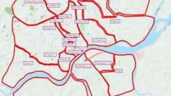
GIS support for town planning, infrastructure design, zoning analysis, and rural development through spatial data modeling.
Conversion of paper maps and raster data into accurate digital vector formats for seamless integration, editing, and analysis.
We provide GIS-based environmental assessments to evaluate potential impacts of projects on land, water, air, and ecosystems.
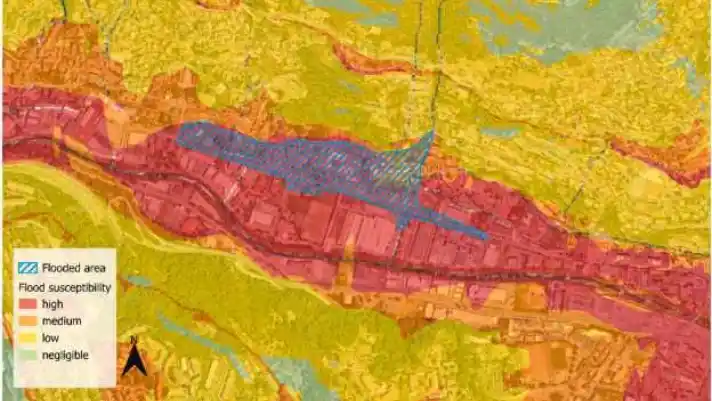
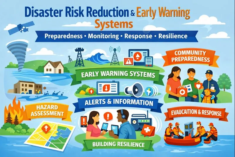
By analyzing hazard zones (floods, earthquakes, landslides, etc.) and mapping vulnerable areas, we enable better preparedness and faster decision-making during emergencies.
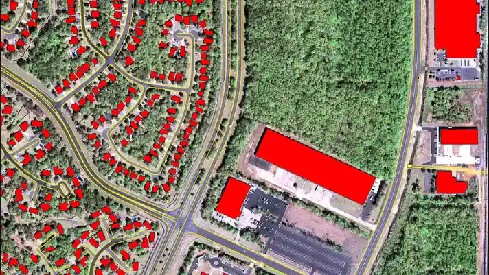
By mapping land parcels, we help local governments and municipalities improve tax assessment, identify unregistered properties, and enhance transparency in tax collection.
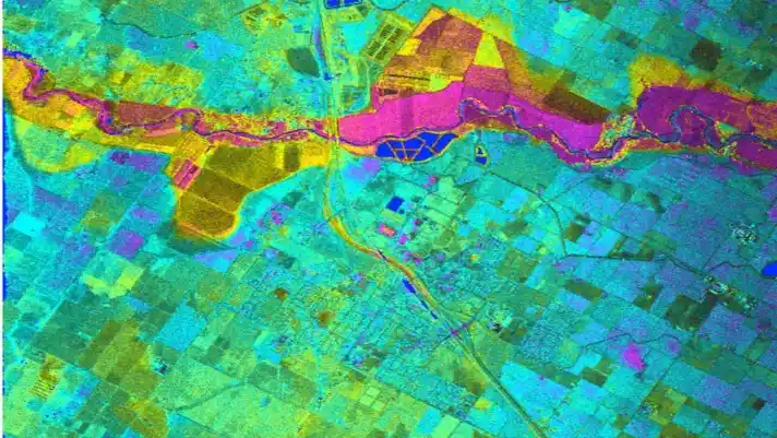
Our remote sensing services support land use analysis, environmental monitoring, agriculture, urban planning, and disaster assessment.
AI Geo Navigators Pvt. Ltd. is a leading climate-intelligence and geospatial firm specializing in turning climate and environmental data into actionable insights. By integrating Artificial Intelligence (AI) with GIS, remote sensing, and traditional data analytics, we provide cutting-edge solutions for a sustainable future.
Our work spans beyond Pakistan, with collaborations with top universities, research institutions, and experts worldwide to address pressing environmental challenges. We train the next generation of ESG, climate, and AI professionals, equipping them with the skills to lead in the rapidly evolving field of environmental sustainability and technology.
Our work spans beyond Pakistan, with collaborations with top universities, research institutions, and experts worldwide to address pressing environmental challenges. We train the next generation of ESG, climate, and AI professionals, equipping them with the skills to lead in the rapidly evolving field of environmental sustainability and technology.
Street 92, Building no. 63 Service road I-8/4 near Dar-e-Arqam school, Islamabad