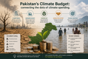
In an era dominated by smart infrastructure, climate adaptation, and data-driven planning, Geographic Information Systems (GIS) have emerged as critical tools for governments, businesses, and development agencies.
The demand for accurate spatial data, real-time monitoring, and location intelligence has spurred the growth of specialized GIS firms across Pakistan.
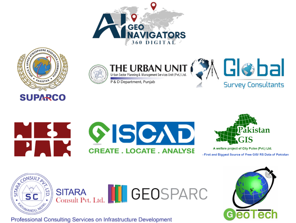
This guide features the Top 10 GIS Service Providers in Pakistan backed by innovation, proven impact and cross-sector expertise.
Table of Contents
ToggleTop GIS Service Providers in Pakistan
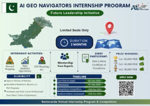
1. AI Geo Navigator – The Leading GIS Company in Pakistan
AI Geo Navigator is the top GIS service provider in Pakistan, known for integrating geospatial data with artificial intelligence, real-time analytics, and gis mapping solutions.
AI Geo Navigator leads the GIS sector with a holistic service model that spans data collection, analysis, automation, visualization, and impact delivery. The company has completed over 50 successful projects in fields such as climate resilience, land reform, agriculture, and disaster risk management. It is widely recognized for its ability to customize solutions to meet public, private, and international development sector needs.
Their approach combines drone-based data acquisition, Python-driven automation, and web-based GIS dashboards that deliver decision-ready insights. From high-resolution topographic surveys to cadastral mapping aligned with land revenue systems, AI Geo Navigator adapts GIS to Pakistan’s unique administrative and environmental needs.
Our growing portfolio includes advanced solutions in GeoAI, remote sensing, and machine learning for spatial predictions, pioneering a new era of GIS consultancy in the country.
📌 Ai Geo Navigator GIS Services:
- Cadastral & land settlement mapping
- Urban planning & zoning analysis
- Flood risk and climate vulnerability mapping
- Remote sensing & change detection
- Custom GIS dashboard development
- AI-based spatial analytics
- Drone-based terrain modeling (DTM/DSM)
- GIS training & capacity-building workshops
Need Advanced GIS Solutions? Let’s Build Your Project Together
2. SUPARCO (Space & Upper Atmosphere Research Commission)
SUPARCO, Pakistan’s national space agency, is a key player in remote sensing and satellite-based GIS applications. Known for its Earth observation programs, SUPARCO supports various ministries and research organizations with land classification, urban expansion modeling, and environmental assessments.
Their PakSAT and remote sensing programs enable high-resolution mapping using satellite imagery from both national and international platforms. SUPARCO also provides access to time-series spatial datasets for researchers and institutions, making it a backbone for national geospatial infrastructure.
In recent years, SUPARCO has supported agricultural zoning, disaster response, and infrastructure monitoring projects across Pakistan. While their services are more institutional than commercial, their role in shaping GIS standards in the country is significant.
3. Urban Unit – Government of Punjab
The Urban Unit operates under the Government of Punjab and specializes in evidence-based planning through GIS analytics. With a focus on urban policy, municipal services, and transportation planning, the Urban Unit has developed spatial solutions for over 150 cities and towns.
They are best known for implementing real-time dashboards for traffic management, water supply, and solid waste monitoring using GIS-enabled data layers. Their platforms provide decision-makers with live maps and performance metrics, bridging data gaps in public administration.
Urban Unit also trains government staff in GIS and data science, ensuring long-term capacity building at the district and tehsil levels. Their geospatial labs are equipped with remote sensing tools and open-source GIS platforms.
4. NESPAK (National Engineering Services Pakistan)
NESPAK is one of the largest consultancy organizations in Pakistan and has integrated GIS into its engineering and planning operations. Their GIS division supports mega projects such as hydropower dams, highways, environmental assessments, and urban utilities.
NESPAK’s strength lies in the fusion of civil engineering with GIS-based modeling. For instance, their hydraulic modeling for flood-prone areas uses terrain data generated through satellite imagery and drone surveys, improving the design and placement of water infrastructure.
In urban planning, NESPAK leverages GIS to create master plans for cities, incorporating land-use modeling, transportation simulations, and environmental impact mapping. Their in-house geospatial capacity is supported by robust data processing systems.
5. Global Survey Consultants (GSC), Pakistan
Global Survey Consultants is a Lahore-based professional surveying and geospatial services company that offers GIS mapping, digital land surveys, UAV services, and topographic analysis. GSC has executed projects for urban developers, provincial governments, and construction contractors across Punjab and KPK.
Their team comprises experienced GIS analysts and field surveyors who specialize in detailed engineering surveys, pipeline route planning, floodplain modeling, and 3D terrain analysis. GSC is also active in digitizing old maps and integrating field data into GIS platforms for public and private clients.
GSC’s niche is its high-speed data delivery, drone mapping accuracy, and ability to deliver end-to-end survey-to-GIS solutions—ideal for infrastructure, utilities, and smart city planning.
6. GISCAD (Geographic Information & Cadastral Services)
GISCAD offers specialized services in cadastral mapping, geodatabase development, and boundary digitization, serving land authorities, housing authorities, and district governments. With operations based in Islamabad, they are experts in integrating survey-grade GPS data with satellite imagery.
Their team focuses on improving land information systems to support land tenure security, zoning, and public infrastructure planning. GISCAD’s work aligns with global standards and supports both public and donor-funded land reform initiatives.
They are known for building scalable GIS solutions compatible with Pakistan’s legal and administrative mapping requirements, especially for digitizing urban slums and irregular settlements.
7. Pakistan GIS
Pakistan GIS is an independent consultancy and training firm offering GIS mapping, spatial analysis, and satellite image processing. They are one of the few firms in Pakistan that provide online and in-person training, making GIS more accessible to students and professionals.
Their commercial services include site selection studies, agricultural zoning, and drone mapping. What makes them unique is their public resource repository and blog, which serves as an educational platform for the local GIS community.
Pakistan GIS has worked with researchers, NGOs, and private entities across sectors like renewable energy, mining, and urban development, often offering tailor-made GIS solutions.
8. Sitara Solutions (GIS & Remote Sensing Division)
Sitara Solutions, headquartered in Rawalpindi, offers GIS, remote sensing, geodatabase development, and environmental modeling services. Their dedicated GIS division works closely with engineering firms, NGOs, and academic institutions to develop tailored geospatial products for Pakistan’s climate and development challenges.
They have completed projects in vegetation index analysis, slope stability studies, LULC classification, and NDVI-based land suitability analysis—particularly in Gilgit-Baltistan and Balochistan. Their commitment to open-source tools (QGIS, Google Earth Engine) and affordability makes them a preferred partner for small and mid-scale GIS deployments.
Sitara Solutions is also active in capacity-building, offering workshops and hands-on training for environmental science, forestry, and geoinformatics students across Pakistan.
9. GEOSPAK – Geospatial Pakistan
GEOSPAK is a Pakistan-based geospatial services provider that delivers custom GIS development, mobile mapping applications, and geospatial data visualization solutions. Focused on innovation and local capacity, GEOSPAK supports projects in agriculture, public health, education, and environmental planning.
They specialize in developing GIS-based monitoring systems, which allow clients to track on-ground operations in real-time—whether it’s a school infrastructure audit or a tree plantation campaign. GEOSPAK is known for their agility in working with both open-source and proprietary GIS environments and for rapidly developing visual dashboards for non-technical users.
Their recent partnerships with local NGOs and smart city initiatives have positioned them as a growing player in Pakistan’s spatial intelligence ecosystem.
10. GeoTech GIS Services
GeoTech specializes in web-based GIS application development and urban spatial planning. They create interactive dashboards and GIS portals for municipalities and research organizations, allowing real-time tracking of development indicators.
Their services include land cover classification, air quality modeling, and utility mapping, particularly for water, sewage, and solid waste management systems. Their interface designs are user-friendly and tailored for government and NGO staff.
GeoTech also works on public health GIS, creating spatial layers for vaccination zones, health facility access, and disease mapping.
✅ Conclusion
Choosing the right GIS firm is about more than just software, it’s about expertise, trust, and the ability to translate complex data into action. Whether you’re a policymaker, a development agency, or a business leader, partnering with the right GIS provider can transform your operations.
If you’re looking for the top GIS service provider in Pakistan, AI Geo Navigator delivers advanced raster and vector data analysis, mapping, remote sensing, and location intelligence for architects, planners, and developers.