Top 10 GIS Companies in UK (2025)
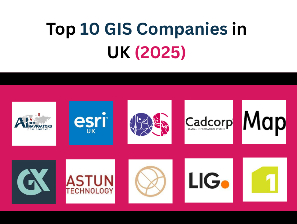
Mapping the Future: Industry Leaders in Geospatial Innovation Geographic Information Systems (GIS) are transforming how industries plan, manage, and visualize spatial data. Across the UK, a growing number of companies are offering advanced GIS services—integrating remote sensing, AI, cartography, and data analytics to solve real-world challenges. Whether it’s supporting infrastructure development, environmental conservation, or public […]
Role of GIS in Healthcare | Key Applications and Real World Examples
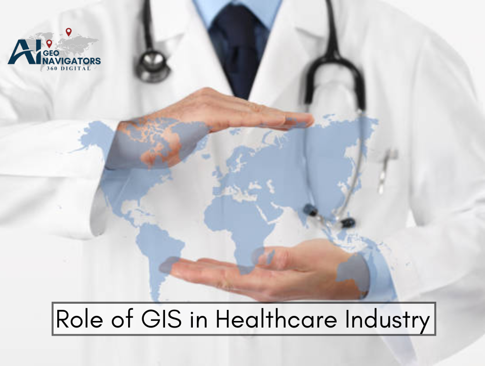
In the rapidly evolving landscape of modern medicine, data-driven decision-making is no longer optional, it’s essential. Geographic Information Systems (GIS) have emerged as one of the most powerful tools for spatial data visualization and analysis in the healthcare industry. By combining mapping technology with real-time data analytics, GIS provides actionable insights that enhance public health […]
ESRI ArcGIS vs QGIS: Which GIS Software is Right for You?
In the world of Geographic Information Systems (GIS), two software platforms consistently stand out: ESRI’s ArcGIS and the open-source QGIS. Whether you’re an urban planner, environmental researcher, government analyst, or spatial data scientist, selecting the right GIS tool is crucial to your work’s accuracy, efficiency, and scalability. Both ArcGIS and QGIS enable professionals to collect, […]
How to Perform Spatial Analysis Using GIS Tools
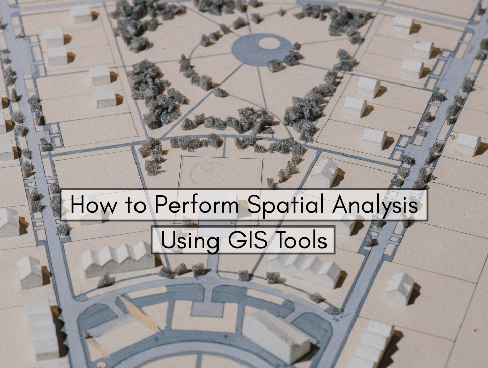
This guide explains how to perform spatial analysis using GIS tools step by step, including concepts, methods, and software. Whether you’re a beginner or a data analyst looking to sharpen your skills, this blog offers a comprehensive look into spatial analysis using GIS. Introduction to Spatial Analysis in GIS In today’s data-driven world, understanding where […]
Role of GIS in Banking and Finance Sector
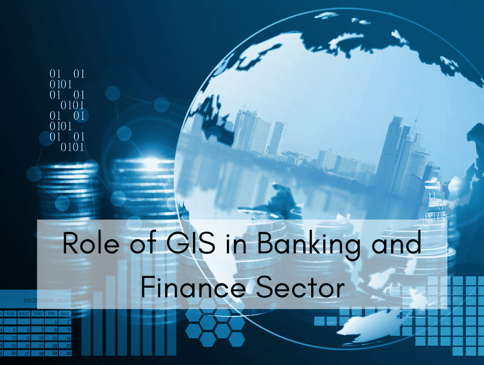
Have you ever wondered how banks decide the perfect spot to open a new branch, or how they know which areas pose the greatest loan risks? The answer lies in the power of Geographic Information Systems (GIS), a technology that’s rapidly transforming decision-making in the financial sector. In today’s competitive financial world, where every decision […]
How to Conduct a GIS Survey | Step By Step Guide
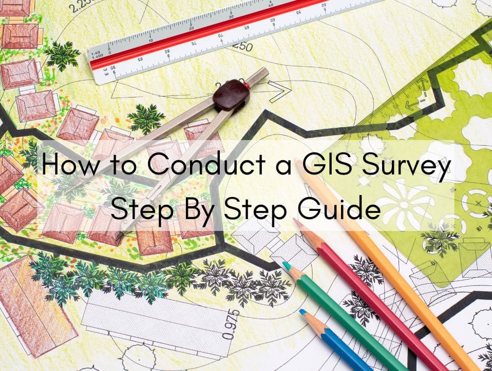
Geographic Information Systems (GIS) are transforming how we gather, manage, and analyze spatial data. Whether for urban planning, environmental monitoring, infrastructure development, or resource management, GIS surveys are critical for making informed decisions backed by geographic intelligence. Conducting a successful GIS survey involves careful planning, data collection, processing, and analysis—all grounded in accuracy and purpose. […]
Top 10 Best Social Media Marketing Agencies in Islamabad

In today’s digital world, social media marketing has become a powerful tool for businesses to grow online. Whether you’re a small business, a startup, or an established company in Islamabad, having a strong presence on platforms like Facebook, Instagram, LinkedIn, and TikTok is essential. Social media not only helps you connect with your audience but […]
Top 15 Geospatial and Land Surveying Companies in Pakistan
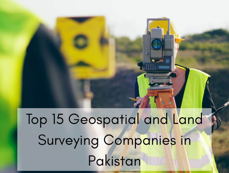
In an era where data-driven planning is at the core of national development, geospatial technology and land surveying services are playing a pivotal role in Pakistan transformation. From urban planning and real estate development to environmental conservation and infrastructure design, the demand for accurate geospatial data and precise land surveying has never been higher. This […]
Best Gis Company in Pakistan | 2025 Ranking
Geographic Information Systems (GIS) have become a vital tool for businesses, governments, and organizations in Pakistan. From urban planning and environmental monitoring to disaster management and infrastructure development, GIS helps make smarter decisions by analyzing spatial data. With the growing demand for advanced geospatial solutions, choosing the right GIS company is crucial for success. In […]
Top 10 GIS Service Providers in Pakistan
In an era dominated by smart infrastructure, climate adaptation, and data-driven planning, Geographic Information Systems (GIS) have emerged as critical tools for governments, businesses, and development agencies. The demand for accurate spatial data, real-time monitoring, and location intelligence has spurred the growth of specialized GIS firms across Pakistan. This guide features the Top 10 GIS […]