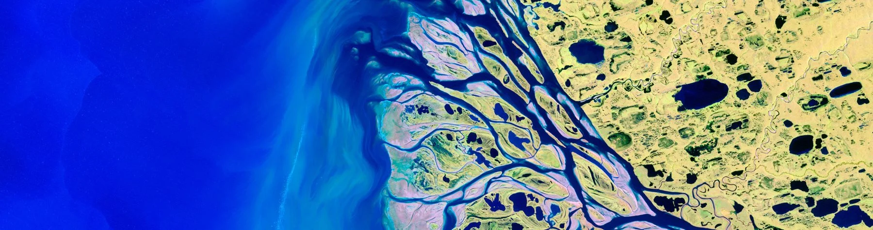
We specialize in Remote Sensing & Image Analytics, using satellite and aerial imagery to provide valuable insights for various applications including environmental monitoring, land use analysis and disaster management. Our advanced image processing techniques and machine learning models enhance data accuracy and interpretation.
By combining remote sensing data with AI driven analysis, we offer precise and actionable insights that support decision-making. From tracking environmental changes to monitoring urban growth, our solutions enable proactive management of critical resources.
Our services help clients monitor environmental dynamics such as deforestation, land degradation and climate change impacts. We provide reliable data that supports sustainable practices and informed decision-making in the face of environmental challenges.
We utilize the latest satellite and aerial imaging technologies, ensuring that our image analytics deliver high-resolution, precise and actionable information. Our advanced algorithms maximize the value of remote sensing data, enabling deeper insights and more effective solutions.
AI Geo Navigators is a climate-intelligence and geospatial firm specializing in converting climate and environmental data into actionable insights by integrating Artificial Intelligence (machine and deep learning) into GIS, remote sensing and traditional data analytics.
View