Geospatial consultancy

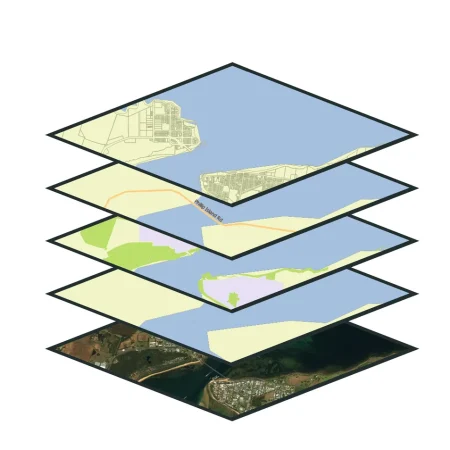
AI Geo Navigators provides Geospatial Consulting & Custom Solutions that turn maps and data into clear actions. We design and build end-to-end GIS systems, custom web and mobile maps, remote sensing analyses, and automated data workflows—tailored to your goals.

Whether you’re starting with raw datasets or well-structured geodatabases, we work closely with you to develop practical, scalable solutions. We can source authoritative data, prepare and clean existing datasets, run advanced geospatial models, or design efficient spatial workflows from the ground up.

Let Ai Geo Navigator help you organise, analyse, and visualise your data so you can focus on decision-making, not data wrangling.
Geospatial Consulting & Custom Solutions

our services

GIS System Design

GIS System Design and Implementation

We help organizations design and deploy GIS systems from the ground up covering data architecture, database management and user interfaces
Custom Geospatial Application Development

Custom Geospatial Application Development

Our experts build custom web-based and mobile GIS applications using technologies like ArcGIS Online, QGIS, Leaflet, Mapbox, and Google Earth Engine.
Spatial Data Analysis and Modeling​

Spatial Data Analysis and Modeling

We perform in-depth spatial analysis, pattern detection, and predictive modeling to extract actionable insights from geospatial data.
Remote Sensing and Image Processing​

Remote Sensing and Image Processing

Our team specializes in satellite and drone imagery processing, including orthorectification, classification, and multi-temporal analysis.
Enterprise GIS and Cloud Solutions​

Enterprise GIS and Cloud Solutions

We deploy enterprise-level GIS platforms on cloud environments (ArcGIS Enterprise, Google Cloud, or Oracle Cloud) to support large-scale operations.
Spatial Decision Support Systems (SDSS)​

Spatial Decision Support Systems (SDSS)

We design decision-support dashboards that merge geospatial intelligence with key performance indicators (KPIs) to guide strategic planning in different Sectors
Cartographic Design and Visualization​

Cartographic Design and Visualization

Our cartography experts create high-quality thematic and interactive maps that transform complex data into clear, visually compelling stories.
Consultancy for AI & ML Integration in GIS​

Consultancy for AI & ML Integration in GIS

We integrate AI into geospatial workflows, automating feature extraction, pattern recognition, and classification to improve efficiency and analytical depth.

Send us a message …

Name