Our Focus

Climate and Disaster Reselience

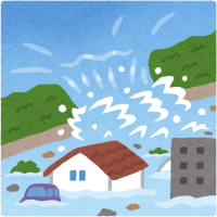
World’s climate is changing because of the imbalances in nature caused by human activity. Global warming is an undeniable issue that is leading to a higher frequency of natural disasters such as floods, heavy rains, droughts, storms, hurricanes and wildfires. The dilemma is Pakistan’s contribution in carbon emission is <1% but we are in the top 10 most affected countries of the world

Pakistan is at high risk due to climate change and natural disasters. Events such as heat waves, flooding, drought, earthquakes, snow storms, flash rains and typhoons have haunted the country for years and regularly swept away the foundations on which the lives of hundreds of thousands of families were built.

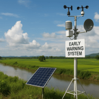
In 2022-23, HANDS carried out 20 Disaster Management projects in 49 districts and 4,538 villages and urban settlements.

our services

Hazard Mapping and Zonation​

Hazard Mapping and Zonation

We use remote sensing and GIS techniques to identify floodplains, drought-prone areas, landslide zones, and other high-risk regions.
Vulnerability & Exposure Assessment​

Vulnerability & Exposure Assessment

We evaluate how climate hazards affect communities, infrastructure & ecosystems by combining spatial, social, and economic data.
Climate Risk and Impact Modeling

Climate Risk and Impact Modeling

Using predictive models and historical data, we simulate the potential impacts of extreme weather events such as floods, droughts, heatwaves, and (GLOFs).
Early Warning Systems

Early Warning Systems

We develop and deploy real-time monitoring and alert systems that track rainfall, river levels, landslides, and other indicators.
Flood and Drought Monitoring

Flood and Drought Monitoring

Our experts analyze satellite imagery (Sentinel, MODIS, CHIRPS, etc.) to detect floods and droughts, monitor seasonal trends, and generate early warnings.
Disaster Preparedness and Response Planning

Disaster Preparedness and Response Planning

We work closely with local governments to develop data-driven contingency plans, optimized evacuation routes, and effective emergency management protocols.
Infrastructure Resilience Mapping

Infrastructure Resilience Mapping

We evaluate the exposure of roads, bridges, and critical infrastructure to climate hazards and recommend resilient design solutions that reduce risks.
Digital Twin and Simulation Models

Digital Twin and Simulation Models

Using 3D and spatial simulation technologies, we create digital replicas of cities to test “what-if” disaster scenarios, improving the understanding of cascading climate risks.

Ready to Enhance Your Disaster Relief Efforts?