3D Modeling in GIS: Revolutionizing Spatial Analysis and Urban Planning
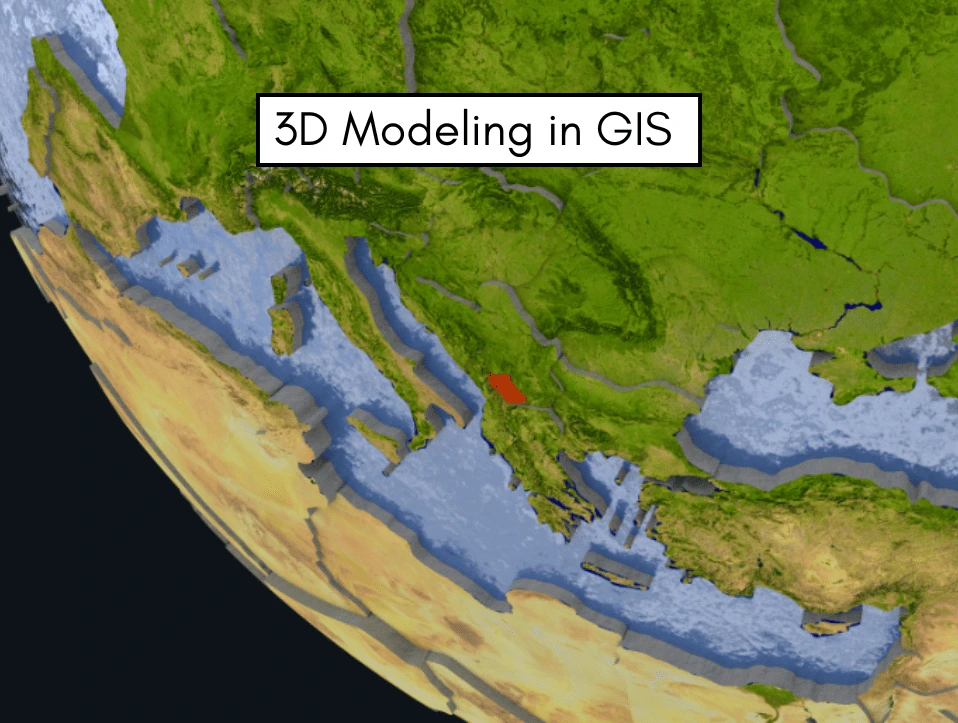
By incorporating elevation, depth, and height into geographic representations, 3D GIS modelling is completely changing how we interpret spatial data. As real-world spatial issues and urban development requirements become more complicated, 3D GIS offers a more sophisticated and immersive viewpoint than conventional 2D GIS systems. These improvements facilitate better stakeholder communication, analysis, and decision-making. 3D […]
How to Conduct a GIS Survey | Step By Step Guide
Geographic Information Systems (GIS) are transforming how we gather, manage, and analyze spatial data. Whether for urban planning, environmental monitoring, infrastructure development, or resource management, GIS surveys are critical for making informed decisions backed by geographic intelligence. Conducting a successful GIS survey involves careful planning, data collection, processing, and analysis—all grounded in accuracy and purpose. […]