The Iran-Israel Conflict: Environmental and Climate Implications of a Regional Power Struggle
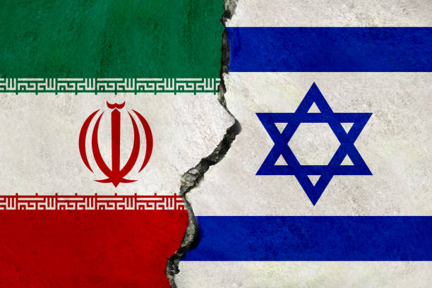
Iran and Israel’s long-running geopolitical rivalry is fueled by deep-rooted ideological disagreements, strategic objectives, and regional power struggles. The two countries have been engaged in a shadow war that includes cyber operations, proxy conflicts, and regional influence campaigns, despite the fact that the conflict has not resulted in direct combat (Fulton, 2019; Litvak, 2021). Mainstream […]
How GIS and Climate Resilience are Shaping the Future of Climate Adaptation
In a world where climate extremes are becoming a bigger concern, the combination of GIS and climate resilience offers not only data but also a lifeline. This enables communities to plan, prepare, and adapt for a future that is safer and more sustainable. Over the past century, the average temperature of our globe has increased […]
Why Sound Is the New Marketing Tool in 2025
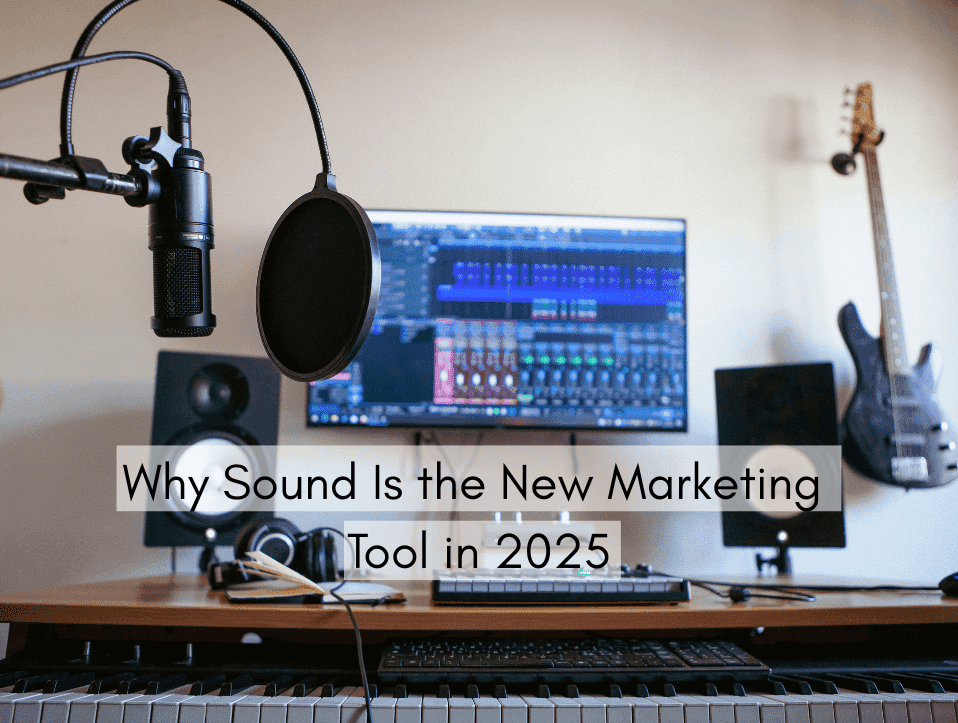
In an visually oversaturated world, marketers in 2025 are turning to audio’s mighty, emotional, and underutilized senses of hearing. As visuals rule social media, branding, and websites, sound is becoming the new territory of engagement with brands. Be it the ear worm jingle of an ad, the voice of a virtual assistant, or the rich soundscape of a podcast, brands are coming to understand that sound doesn’t just enhance their message. Welcome to 2025, where audio is the new marketing tool, fueled by technological advancement, changing audience behavior, and the emotional potential of sound. 5 Ways to Improve Your Music Production […]
Role of GIS in Banking and Finance Sector
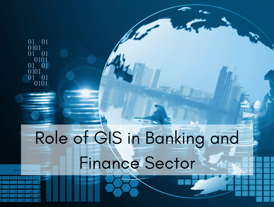
Have you ever wondered how banks decide the perfect spot to open a new branch, or how they know which areas pose the greatest loan risks? The answer lies in the power of Geographic Information Systems (GIS), a technology that’s rapidly transforming decision-making in the financial sector. In today’s competitive financial world, where every decision […]
Community-Based Glacier Grafting in Pakistan: Integrating Indigenous Practices with GIS for Climate Adaptation
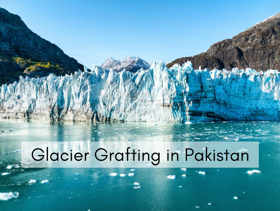
Glacier Grafting, a local mythological method and ancient practices of developing a glacier. In local folklores and uttered history about the glaciers located at various places where the glaciers exist as snow-patches or small glaciers. The local historians state that the local people argue about the grafting of the glaciers by indigenous wisdom and experiences. […]
How to Conduct a GIS Survey | Step By Step Guide
Geographic Information Systems (GIS) are transforming how we gather, manage, and analyze spatial data. Whether for urban planning, environmental monitoring, infrastructure development, or resource management, GIS surveys are critical for making informed decisions backed by geographic intelligence. Conducting a successful GIS survey involves careful planning, data collection, processing, and analysis—all grounded in accuracy and purpose. […]
How GIS Helps Tackle Heat Waves | Smart Climate Solutions
The world has been experiencing heat waves for the last few decades. Climate change has increased both the frequency, intensity, and duration of heat waves in recent years. This is not just about a hot summer; it now poses escalating threats to our health, food supply, energy systems, and urban infrastructure. Cities suffer from this […]
How High Quality Content Drives Social Media Success in 2025

In a world where billions scroll through content every second, standing out is not about being louder. It’s about being smarter. The real key to social media success in 2025 lies in one powerful strategy: creating high quality content. Social media platforms are now more competitive than ever. With over 1.7 billion search results for […]
Top 10 Best Social Media Marketing Agencies in Islamabad
In today’s digital world, social media marketing has become a powerful tool for businesses to grow online. Whether you’re a small business, a startup, or an established company in Islamabad, having a strong presence on platforms like Facebook, Instagram, LinkedIn, and TikTok is essential. Social media not only helps you connect with your audience but […]
Top 15 Geospatial and Land Surveying Companies in Pakistan
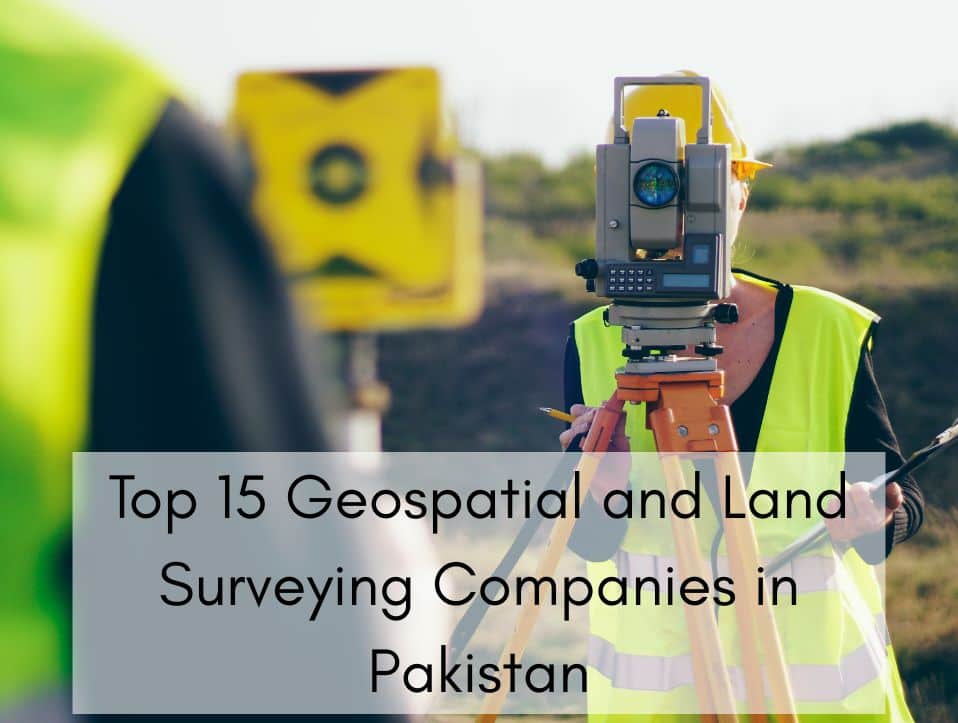
In an era where data-driven planning is at the core of national development, geospatial technology and land surveying services are playing a pivotal role in Pakistan transformation. From urban planning and real estate development to environmental conservation and infrastructure design, the demand for accurate geospatial data and precise land surveying has never been higher. This […]