Remove CO₂ and Make an Impact.
Start taking climate action today and become part of our forward-thinking community of AI Geo Navigators who are committed to a sustainable future. With our cutting-edge geospatial intelligence solutions, we help businesses and individuals make meaningful contributions to tackling climate change.

Reduce Your Carbon Footprint
Looking to reduce your carbon footprint? Whether you’re an individual, a small business, or a large organization, AI Geo Navigators provides customized solutions to help you effectively reduce emissions and contribute to environmental restoration. Our services combine innovative GIS technology and AI-driven data to make your carbon offsetting efforts impactful and measurable.
Calculate Your CO₂ Emissions
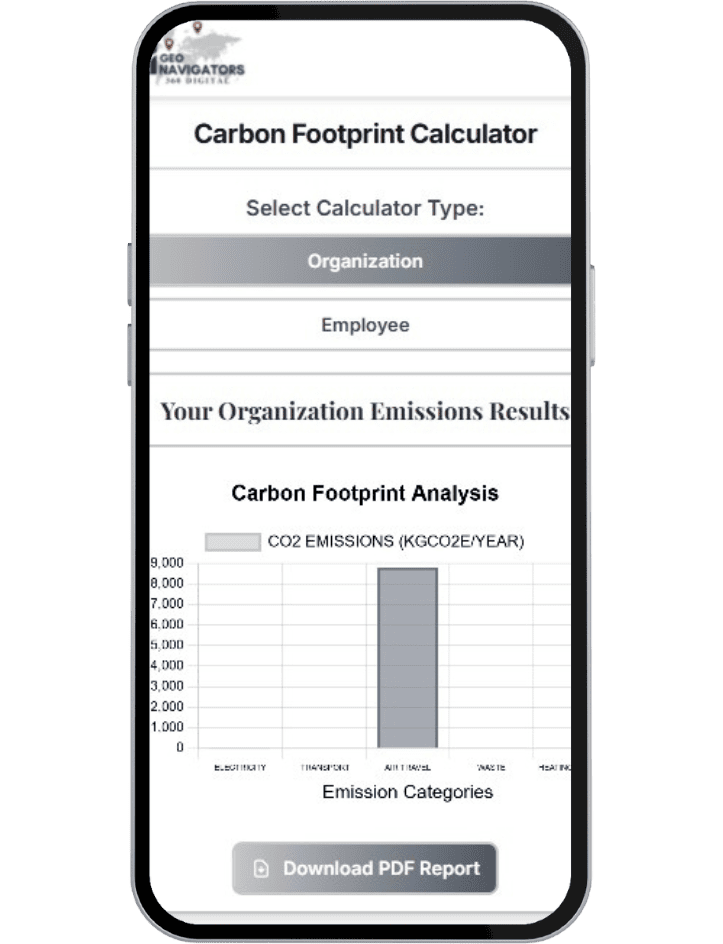
Understanding your carbon footprint is the first step toward effective climate action. With our CO₂ Emission Calculator, developed in collaboration with experts in climate science, you can easily estimate your carbon emissions based on your activities, lifestyle, and business operations. This tool is designed to provide you with an accurate picture of your carbon impact.
Choose Your Carbon Removal Portfolio
At AI Geo Navigators, we understand that climate solutions must be diverse and comprehensive. We offer tailored carbon removal portfolios based on your specific preferences and budget. Choose between nature-based and technology-driven solutions.
Nature-Based Solutions

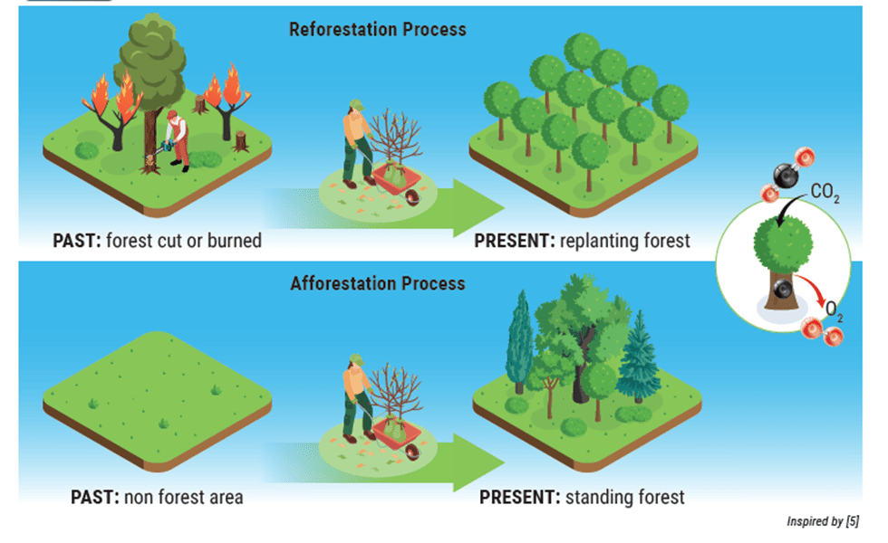
Afforestation & Reforestation: Planting trees to absorb CO₂ from the atmosphere and restore ecosystems.
Mangrove Restoration: Restoring coastal ecosystems that serve as carbon sinks.
Biochar Solutions: A sustainable approach to reducing CO₂ by sequestering carbon in the soil.
Technology-Focused Solutions

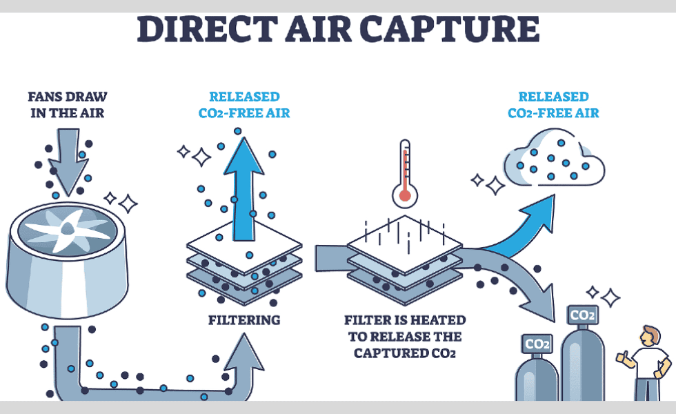
Direct Air Capture (DAC): Using innovative machines to remove CO₂ directly from the air.
Bioenergy with Carbon Capture and Storage (BECCS): Harnessing bioenergy to produce energy while capturing the released CO₂ and storing it underground.
Enhanced Rock Weathering: A natural process accelerated by technology to sequester carbon by increasing the weathering of minerals.
Take Action Today
By choosing AI Geo Navigators, you’re not just offsetting your carbon footprint. You’re investing in innovative, high-quality solutions that have a long-lasting impact on the environment.
How It Works
Why AI Geo Navigators?
Join the AI Geo Navigators Movement Now!
Start today by calculating your CO₂ footprint and choosing your carbon removal portfolio. Be part of the solution and create a sustainable future with AI Geo Navigators.
Take Action Today
By choosing AI Geo Navigators, you’re not just offsetting your carbon footprint. You’re investing in innovative, high-quality solutions that have a long-lasting impact on the environment.

Get a Free Quote
Our Services
Mapping solution
We offer end-to-end geospatial and mapping solutions. From infrastructure planning to urban navigation, our web-based GIS tools provide real-time insights.
Digitization & Vectorization
Convert your physical maps, blueprints, and scanned documents into accurate, editable digital formats. We trace and transform raster images into precise vector layers
Remote Sensing
Our remote sensing services support land use analysis, environmental monitoring, agriculture, urban planning, and disaster assessment. Gain up-to-date, location-specific insights.
