Cadastral mapping involves creating detailed maps that show the boundaries, ownership, and value of land parcels, serving as a vital tool for land administration and management. These maps are crucial for ensuring land registration, taxation, and resolving any legal disputes over property boundaries. Implemented through advanced technology like GIS, cadastral mapping enhances precise record-keeping and data accessibility, aiding in efficient urban planning and development.
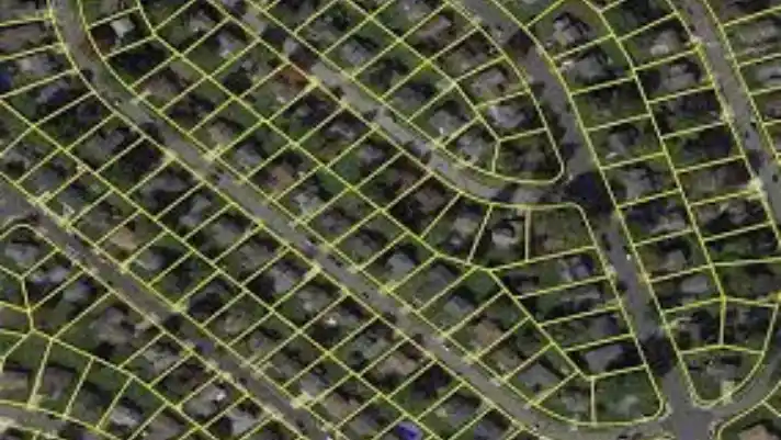
Parcel Mapping helps visualize property boundaries with precise geospatial data, making land management and planning more efficient.
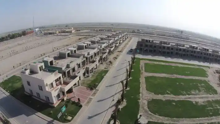
Land Ownership Verification ensures accurate property title checks, boundary validation, and legal ownership confirmation using land records and GIS data.
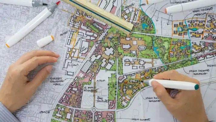
We help governments, developers, and communities build sustainable, well-organized environments across cities and villages.

Streamlines property data by digitizing land records, enabling efficient access, verification, and management through secure platforms.
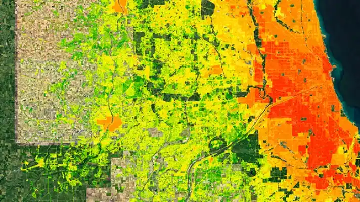
We uGIS technology to accurately map properties and assess taxable values. A smart solution for municipalities, housing societies, and tax authorities.
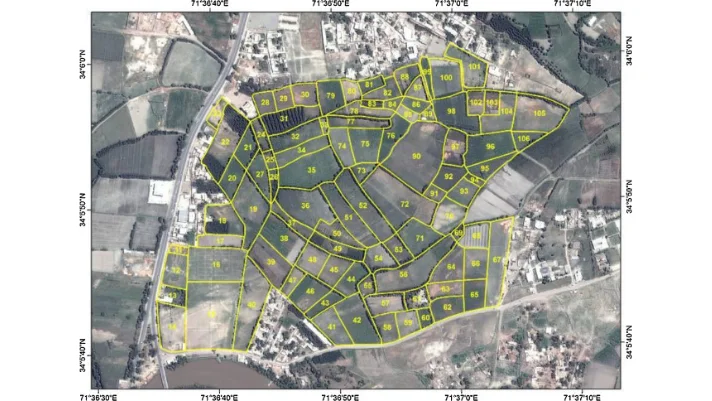
We provide 3D Cadastral Models a detailed visualization of property boundaries, ownership rights, and land parcels using advanced GIS and 3D mapping technology.
We help several industries with our expert cadastral mapping solutions, allowing stakeholders to stay ahead in the game through informed decision-making.
Our highly accurate cadastral maps will help streamline land management and property transactions like never before. Our services are specially designed to help real estate professionals track ownership details, visualize boundaries efficiently. This also enables all stakeholders to reduce costly property-related disputes.
Building the future starts with accurate planning. Our 3D cadastral models and digital mapping solutions provide construction professionals with precise land boundaries and topographical data. From site analysis to project development, we help streamline the entire construction process, ensuring that every step is backed by accurate, real-time data.
Navigate land disputes with ease using our expert land ownership verification and cadastral mapping services. Our precise land records and data visualization tools are designed to assist legal professionals in resolving property-related disputes, ensuring accurate evidence and reducing legal risks for all parties involved.
Take your real estate development projects to the next level with our advanced GIS mapping solutions. We provide real estate developers with tools to accurately assess land, manage zoning regulations, and plan property layouts. Our solutions minimize risks and maximize profitability in every development phase.
Building the future starts with accurate planning. Our 3D cadastral models and digital mapping solutions provide construction professionals with precise land boundaries and topographical data. From site analysis to project development, we help streamline the entire construction process, ensuring that every step is backed by accurate, real-time data.
Our GIS Services are designed to assist environmental experts in monitoring and conserving natural resources. By visualizing land boundaries, zoning, and environmental data, we help in sustainable land management, conservation efforts, and environmental impact assessments. Protect the environment with accurate and efficient mapping tools.
Street 92, Building no. 63 Service road I-8/4 near Dar-e-Arqam school, Islamabad