Top 15 Geospatial and Land Surveying Companies in Pakistan
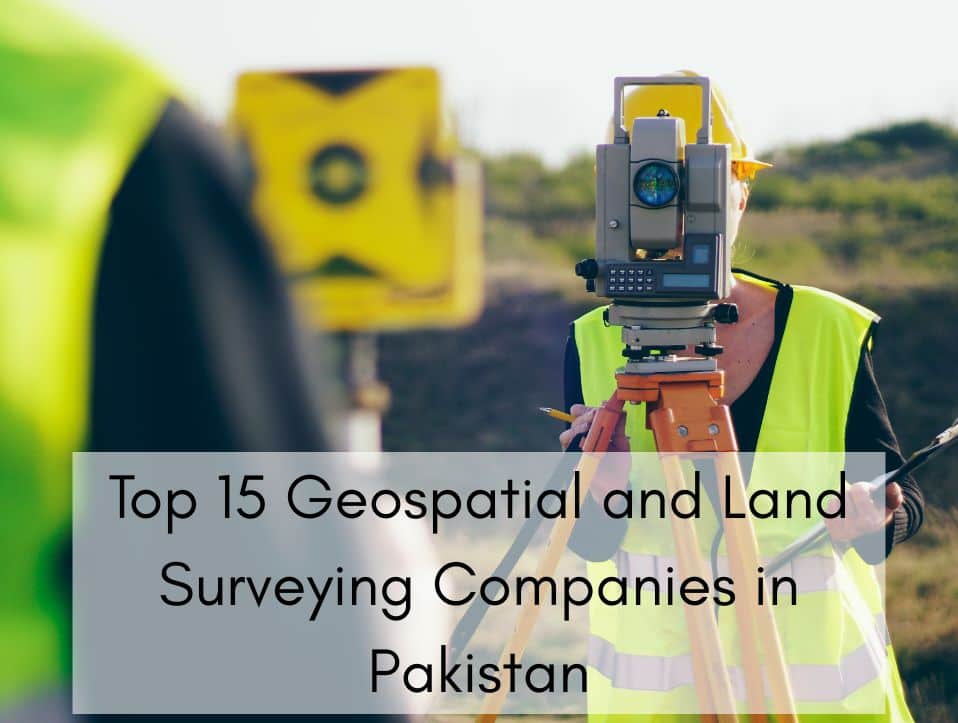
In an era where data-driven planning is at the core of national development, geospatial technology and land surveying services are playing a pivotal role in Pakistan transformation. From urban planning and real estate development to environmental conservation and infrastructure design, the demand for accurate geospatial data and precise land surveying has never been higher. This […]
Applications of GIS in Environmental Management
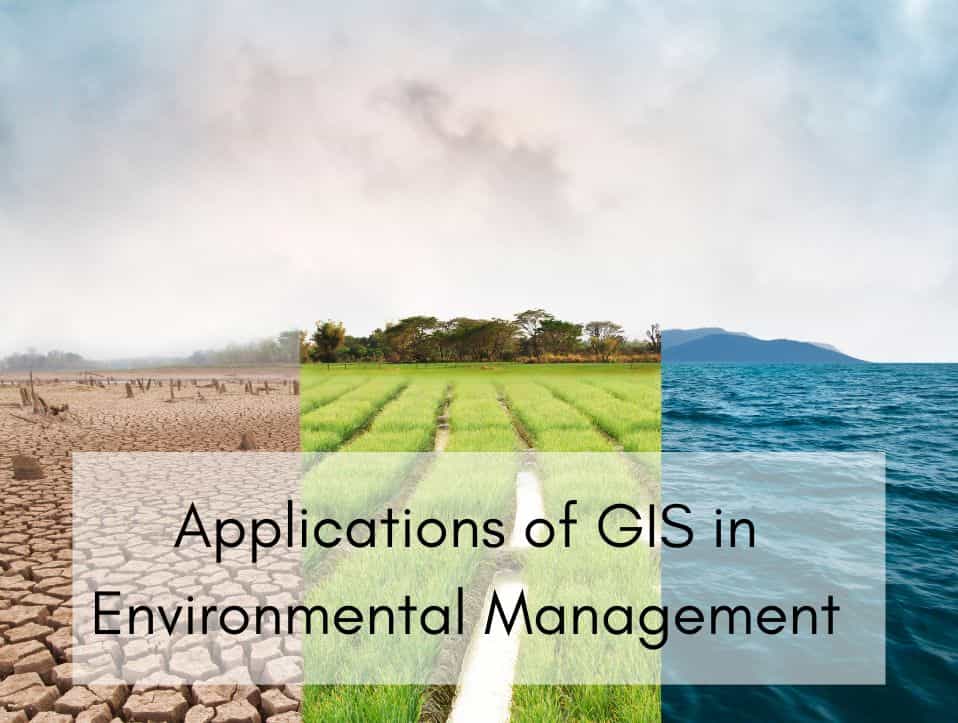
As environmental uncertainty grows, Geographic Information Systems (GIS) have become vital for managing and safeguarding our natural environment. GIS provides powerful spatial analysis features that can transform our comprehension of and engagement with the environment, from monitoring climate change to reducing disaster impacts. This piece investigates the main uses of GIS in environmental management, emphasizing […]
Best Gis Company in Pakistan | 2025 Ranking
Geographic Information Systems (GIS) have become a vital tool for businesses, governments, and organizations in Pakistan. From urban planning and environmental monitoring to disaster management and infrastructure development, GIS helps make smarter decisions by analyzing spatial data. With the growing demand for advanced geospatial solutions, choosing the right GIS company is crucial for success. In […]
Application of GIS for Architecture
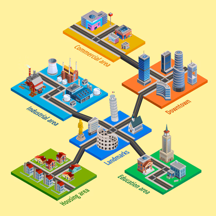
In the context of today’s rapidly advancing technological environment, GIS have emerged as crucial instruments in numerous domains, architecture included. As urban areas expand and the significance of sustainability escalates, architects are required to design with a more profound comprehension of environmental factors, community requirements, and spatial dynamics. GIS enables architects to incorporate geographic data […]
Raster vs Vector Data | Complete Guide for Beginners
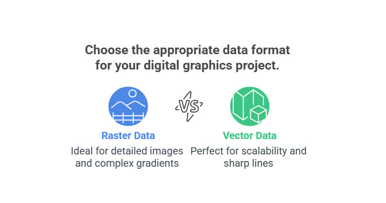
In the world of Geographic Information Systems (GIS), spatial data is the foundation of every analysis, map, and decision. Whether you’re tracking changes in land use, analyzing population growth, or planning infrastructure, you’re working with spatial data. But not all spatial data is the same — it mainly comes in two fundamental formats: Raster and […]
Top 10 GIS Service Providers in Pakistan
In an era dominated by smart infrastructure, climate adaptation, and data-driven planning, Geographic Information Systems (GIS) have emerged as critical tools for governments, businesses, and development agencies. The demand for accurate spatial data, real-time monitoring, and location intelligence has spurred the growth of specialized GIS firms across Pakistan. This guide features the Top 10 GIS […]
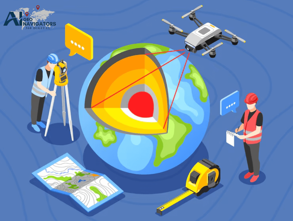
What is Geospatial Surveying? Methods, Tools & Uses
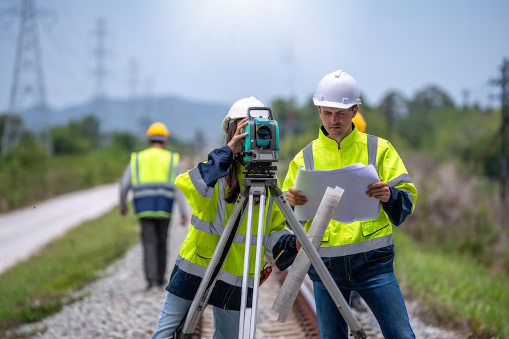
Geospatial surveying is a powerful way to collect and analyze location-based data to map land, infrastructure, and natural features. It plays a key role in industries like construction, urban planning, agriculture, and environmental monitoring. This article explains what is geospatial surveying, how its works, the main types of surveying methods, the top tools and GIS […]
Digitization in GIS | Geographic Information System
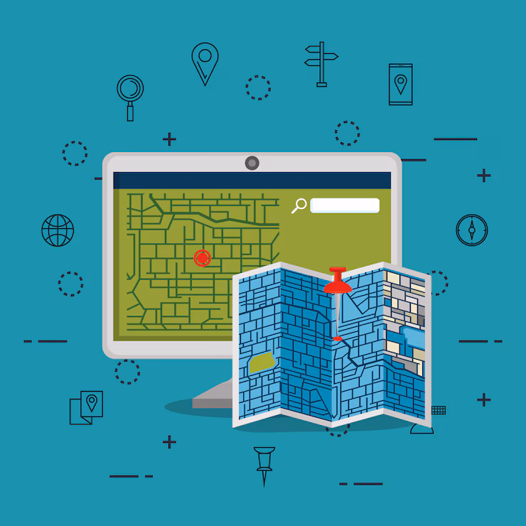
In today’s digital age, relying on old maps and physical records can slow down planning, decision-making, and progress. That’s where GIS digitization comes in. It’s the first and most crucial step in turning traditional geographic information into smart, searchable, and interactive digital maps. In this blog, we’ll explore what digitization in GIS really means, how […]
How does social media affect our daily life?

We Spend 2.5 Hours a Day Scrolling , How Social Media Is Quietly Rewriting Our Lives. Every day, the average person spends 2 hours and 27 minutes on social media. That adds up to more than five years over a lifetime. It’s no longer just a way to pass time. Social media now affects how […]
What Does a GIS Specialist Do?
In a world increasingly driven by data, knowing where things happen is just as important as knowing what is happening. Whether it’s planning smarter cities, responding to natural disasters, tracking environmental changes, or improving public health infrastructure, Geographic Information Systems (GIS) play a critical role. As the heart of this spatial revolution are GIS Specialists […]