Applications of GIS in Environmental Management
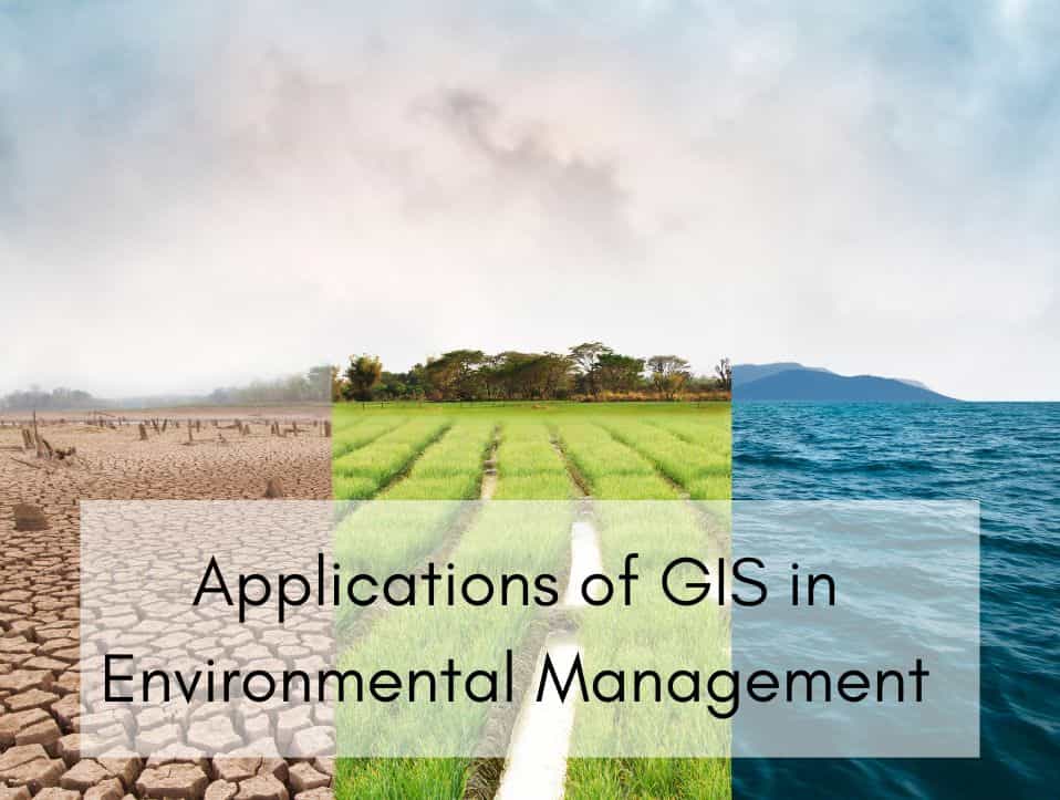
As environmental uncertainty grows, Geographic Information Systems (GIS) have become vital for managing and safeguarding our natural environment. GIS provides powerful spatial analysis features that can transform our comprehension of and engagement with the environment, from monitoring climate change to reducing disaster impacts. This piece investigates the main uses of GIS in environmental management, emphasizing […]
Application of GIS for Architecture
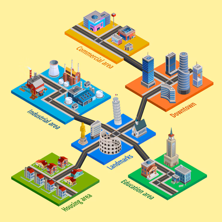
In the context of today’s rapidly advancing technological environment, GIS have emerged as crucial instruments in numerous domains, architecture included. As urban areas expand and the significance of sustainability escalates, architects are required to design with a more profound comprehension of environmental factors, community requirements, and spatial dynamics. GIS enables architects to incorporate geographic data […]
What is Geospatial Surveying? Methods, Tools & Uses

Geospatial surveying is a powerful way to collect and analyze location-based data to map land, infrastructure, and natural features. It plays a key role in industries like construction, urban planning, agriculture, and environmental monitoring. This article explains what is geospatial surveying, how its works, the main types of surveying methods, the top tools and GIS […]