Watch Our Zoning Dashboard in Action
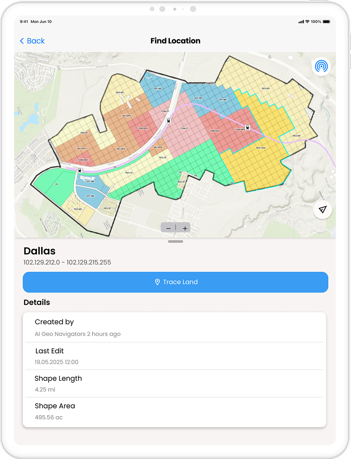
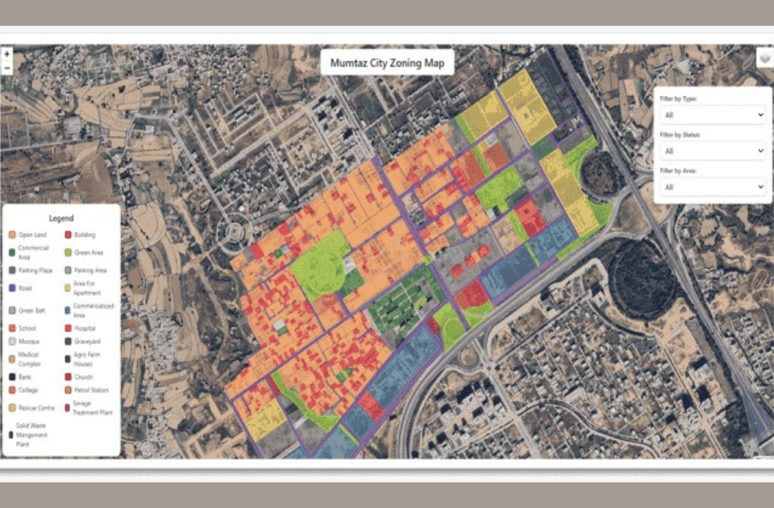
Make smarter planning decisions with real-time zoning data at your fingertips. Our interactive GIS dashboard brings together land use maps, zoning layers, parcel data, and regulatory overlays.
Watch the demo to see how the dashboard works, its main features, and how planners and developers use it to save time and make better land decisions.
Land Use & Zoning Analysis – GIS Services
We provide accurate land use maps, zoning analysis, and GIS solutions for developers, planners, investors, and local governments. Use reliable geospatial data to make better land and property decisions.

Get a Free Quote
Our Services
Mapping solution
We offer end-to-end geospatial and mapping solutions. From infrastructure planning to urban navigation, our web-based GIS tools provide real-time insights.
Digitization & Vectorization
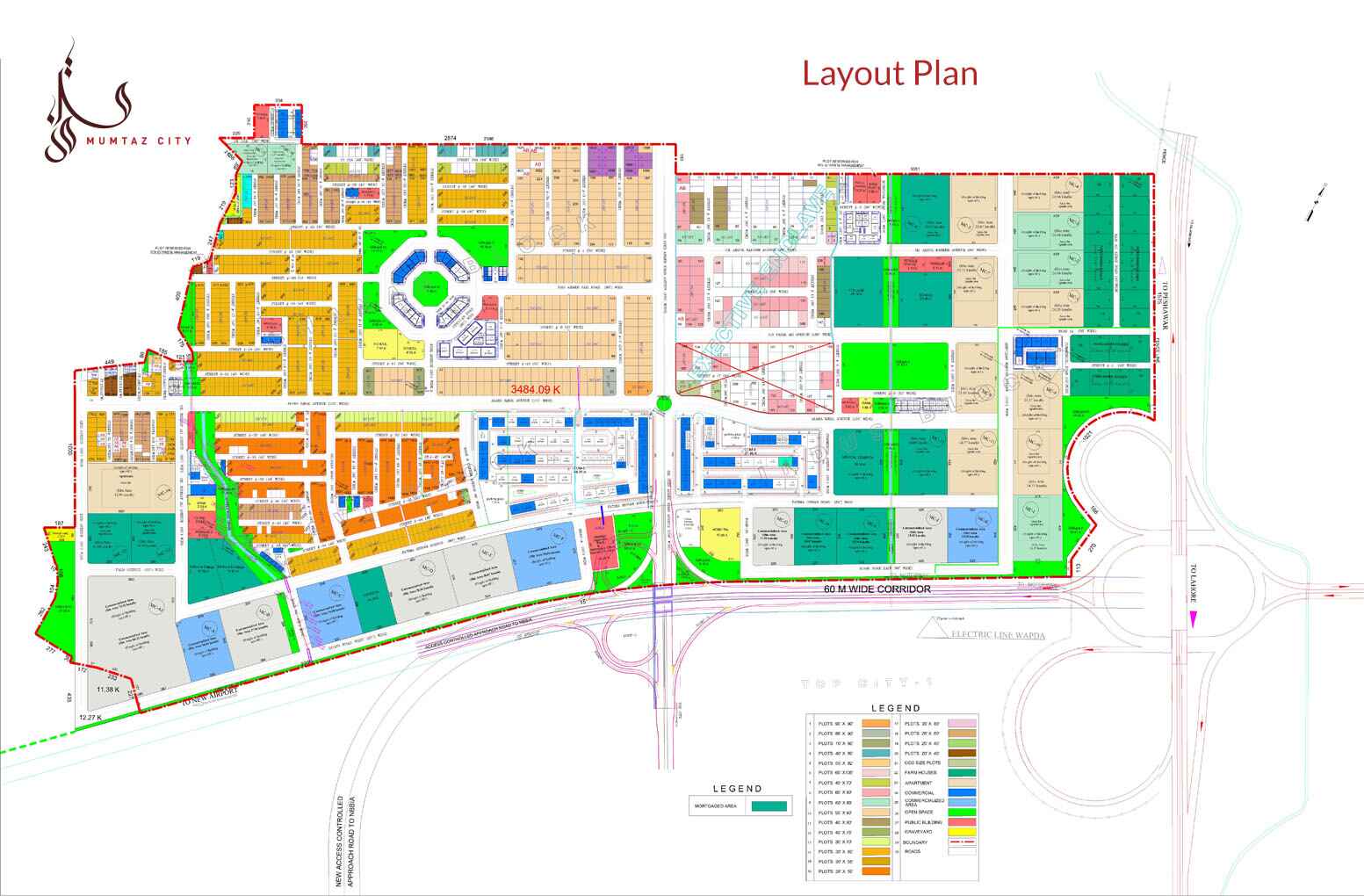
Convert your physical maps, blueprints, and scanned documents into accurate, editable digital formats. We trace and transform raster images into precise vector layers
Remote Sensing
Our remote sensing services support land use analysis, environmental monitoring, agriculture, urban planning, and disaster assessment. Gain up-to-date, location-specific insights.

Old Zoning Method

