Raster vs Vector Data | Complete Guide for Beginners
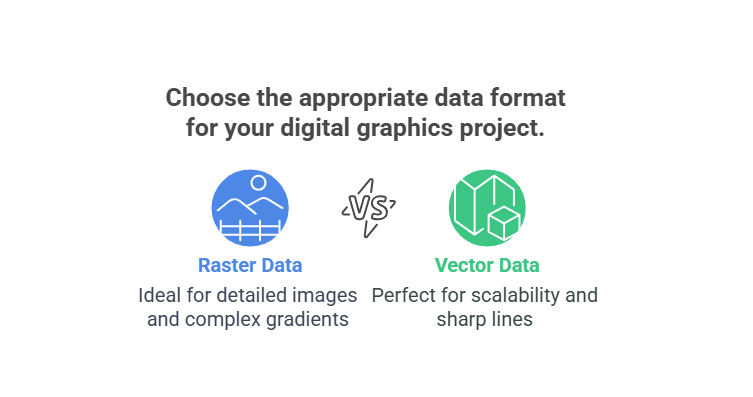
In the world of Geographic Information Systems (GIS), spatial data is the foundation of every analysis, map, and decision. Whether you’re tracking changes in land use, analyzing population growth, or planning infrastructure, you’re working with spatial data. But not all spatial data is the same — it mainly comes in two fundamental formats: Raster and […]