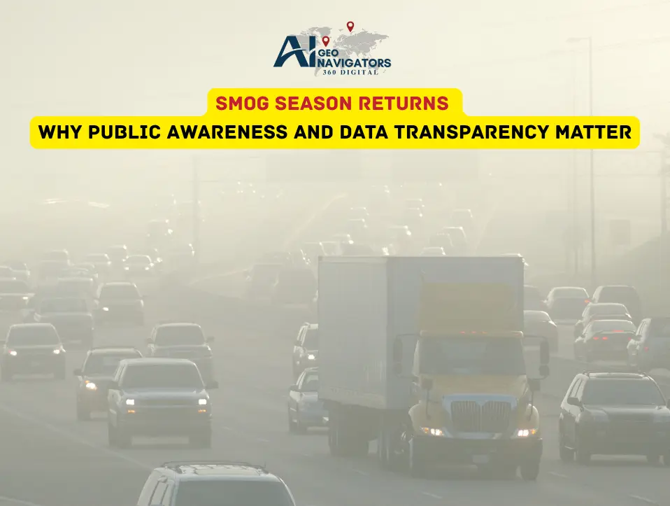
As the familiar gray haze descends once again over Pakistan’s major cities, the return of smog season is a stark reminder of how air pollution continues to threaten both public health and environmental sustainability. From Lahore’s congested streets to Faisalabad’s industrial zones, residents are waking up to reduced visibility, burning eyes, and air quality levels well above the danger threshold.
But beyond the seasonal headlines and health alerts lies a deeper issue, a lack of data transparency and public awareness about the causes, sources, and long-term consequences of smog. Experts say that without accessible, real-time information, communities and policymakers remain one step behind in addressing a crisis that grows worse every year.
Table of Contents
ToggleRising Smog Levels and the Need for Action
Over the past decade, Pakistan has consistently ranked among countries with the world’s poorest air quality. In winter months, temperature inversions trap pollutants close to the ground, amplifying the effects of emissions from vehicles, factories, and crop residue burning. The Air Quality Index (AQI) in cities like Lahore and Gujranwala often crosses 300, a level classified as “hazardous” by international standards.
According to environmental experts, these numbers are not just statistics. They reflect an urgent need for better urban planning, emission control, and most importantly, public involvement. Citizens need to understand how daily choices from transport habits to waste burning directly contribute to the smog blanket that suffocates their cities.
Role of Data Transparency
While many factors drive air pollution, a lack of transparent and accessible environmental data makes it harder for citizens and decision-makers to take effective steps. In many areas, air quality monitoring is limited to a few urban centers, leaving large populations without reliable information about the air they breathe.
This is where data transparency becomes critical. Open access to environmental data, including AQI readings, pollution maps, and emission sources can empower individuals, schools, and local governments to make informed decisions. When people see the numbers in real time, awareness turns into action.
Technology as a Tool for Clean Air
Innovative use of AI and GIS technology is now proving to be a game-changer in tackling air pollution. At Ai Geo Navigators, our environmental data analysts and GIS experts are leveraging satellite imagery, geospatial mapping, and predictive modeling to track smog movement and identify pollution hotspots across Pakistan.
By combining satellite data with ground-based air sensors, it becomes possible to map pollution levels with high accuracy and share this information through visual dashboards. These tools not only highlight problem zones but also help forecast smog intensity days in advance enabling authorities to take early preventive action.