Have you ever wondered how banks decide the perfect spot to open a new branch, or how they know which areas pose the greatest loan risks?
The answer lies in the power of Geographic Information Systems (GIS), a technology that’s rapidly transforming decision-making in the financial sector.
In today’s competitive financial world, where every decision must be backed by data, GIS brings a crucial dimension location intelligence.
Table of Contents
ToggleWhat is GIS and Why It Matters in Finance?
Geographic Information Systems (GIS) is a technological tool that captures, stores, analyzes, and displays spatial and geographic data. In its simplest form, GIS helps users visualize location-based information through maps, charts, and 3D models.
Originally associated with environmental sciences and urban planning, GIS has become increasingly important in the financial sector, particularly in banking, insurance, and investment analysis.
GIS matters in finance because location plays a critical role in consumer behavior, risk assessment, branch optimization, and fraud detection. With the rise of big data and AI-driven analytics, financial institutions are recognizing the power of spatial intelligence.
By integrating GIS with existing financial data systems, banks and financial service providers can make more informed, strategic decisions, especially in today’s hypercompetitive and data-driven world.
For instance, combining demographic maps with credit risk models can help identify underserved markets or predict defaults. From opening new branches to optimizing loan portfolios, GIS offers a unique lens for viewing financial data with a spatial perspective—making it a game-changer for modern financial operations.
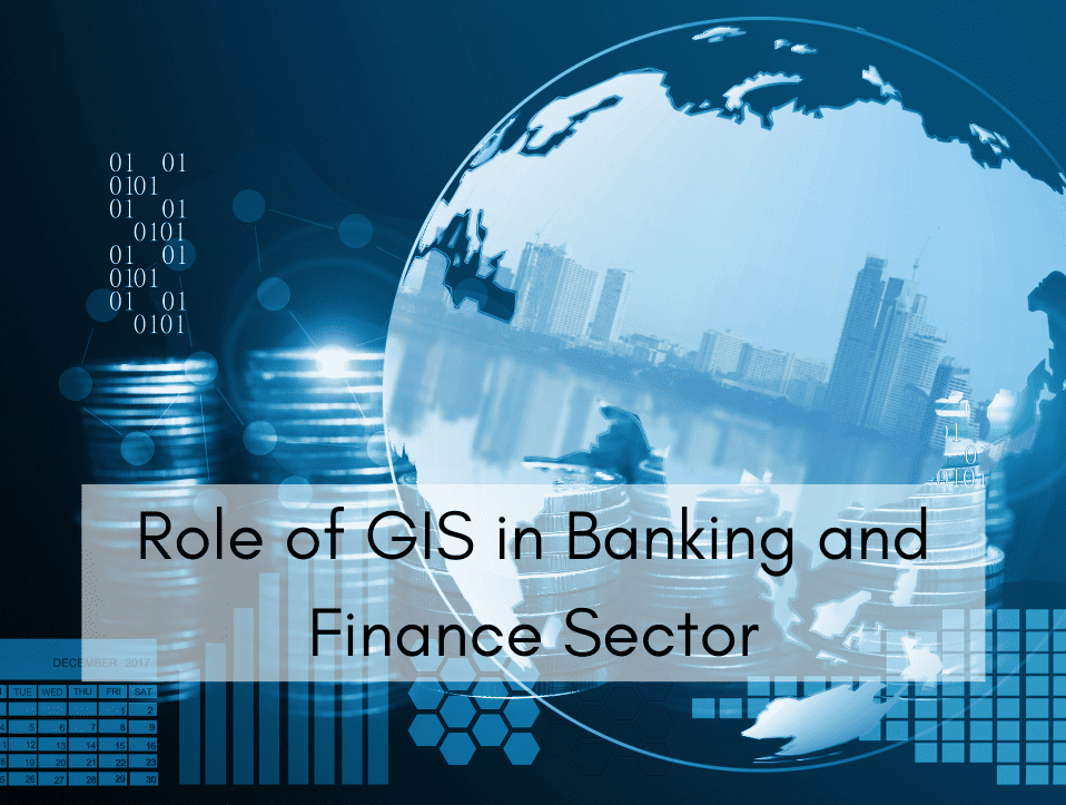
Role of GIS in Banking and Finance Sector
Role of GIS in Banking and Finance Sector1. Strategic Site Selection for Branch and ATM Placement
Location is everything in retail banking. GIS plays a crucial role in determining where to open new branches or install ATMs. By analyzing spatial data such as population density, customer distribution, foot traffic, and competitor locations, banks can pinpoint areas that promise the highest return on investment.
For example, a bank planning to expand into a new region can use GIS to identify commercial hubs, public transport routes, and high-demand residential areas. It can overlay this with income data, customer preferences, and economic activity to choose optimal branch locations. This reduces the guesswork traditionally involved in expansion strategies.
Moreover, GIS also helps in determining where existing ATMs or branches are underperforming. By understanding customer usage patterns and accessibility challenges, banks can relocate or enhance services at existing points of presence. This boosts operational efficiency while enhancing customer satisfaction.
2. Enhanced Risk Assessment and Loan Evaluation
Risk assessment is the backbone of any lending or investment decision. GIS helps banks integrate environmental, economic, and social data to build more accurate credit and risk models. This is particularly useful for mortgages, business loans, and agricultural financing.
Consider mortgage lending: GIS can map out flood zones, earthquake-prone regions, and crime statistics. By combining these insights with borrower credit scores and property values, banks get a clearer picture of potential risks. This not only protects the bank’s interests but also ensures fair and informed lending decisions.
Additionally, GIS allows banks to evaluate the concentration of loan defaults in specific areas. If a certain neighborhood is showing rising default trends, it may be a red flag for systemic issues like unemployment or declining real estate prices. Banks can then take corrective actions such as adjusting interest rates or loan criteria in that region.
3. Customer Profiling and Targeted Marketing
Understanding customer behavior is central to modern banking. GIS enhances customer profiling by linking financial behaviors to geographic and demographic patterns. This enables more accurate segmentation and personalized marketing.
Banks can use GIS to identify affluent neighborhoods, tech-savvy regions, or communities with high demand for specific products like home loans or retirement accounts. By correlating this with customer transaction data, banks can launch targeted campaigns that are more likely to convert.
Furthermore, GIS supports omnichannel marketing. Banks can tailor offers not only based on what customers buy but where they are. For instance, a customer frequently visiting travel websites from a certain city might receive travel insurance or forex promotions tailored to their location.
4. Fraud Detection and Transaction Monitoring
Fraudulent activity often leaves a spatial footprint. GIS provides financial institutions with real-time geospatial analysis to detect anomalies and flag suspicious behavior. This is especially valuable in digital banking, where transactions occur across multiple platforms and geographies.
For example, if a user’s debit card is used in New York and then, an hour later, in London, GIS tools can immediately trigger alerts by identifying the geographic inconsistency. This spatial intelligence adds an extra layer to traditional fraud monitoring systems.
GIS can also map fraud hotspots. If a particular region sees a spike in phishing attacks or ATM skimming, banks can take preventive measures such as increasing security, educating customers, or even temporarily disabling certain features in high-risk areas.
5. Investment and Market Analysis
GIS enhances investment strategies by linking financial data with regional economic indicators. Investment firms and banks can evaluate real estate markets, stock market trends, or business growth opportunities based on geospatial trends.
Real estate investment trusts (REITs), for instance, heavily rely on GIS to assess commercial property performance in different urban zones. Overlaying infrastructure developments, population growth, and economic activity can reveal promising investment pockets or predict depreciation risks.
Additionally, GIS aids in agricultural finance and commodity trading. Mapping rainfall patterns, soil quality, and crop yield forecasts helps banks decide on loan structures, hedge risks, and recommend suitable financial products for rural clients.
6. Disaster Management and Business Continuity Planning
Natural disasters pose significant risks to both physical infrastructure and customer financial health. GIS enables banks to plan for such events by identifying vulnerable branches, ATMs, and customer populations in affected zones.
During a flood or earthquake, GIS maps can help financial institutions track real-time impact, route emergency funds, or set up mobile ATMs. It also assists in protecting customer data and ensuring uninterrupted services by switching operations to backup branches or cloud-based platforms.
Business continuity planning is not just reactive but also proactive. By simulating disaster scenarios on GIS platforms, banks can optimize disaster recovery strategies, allocate emergency resources more efficiently, and minimize downtime. This ensures trust and resilience in the face of crises.
Benefits of GIS in Banking and Finance
1. Multi-Layered Spatial Analysis for Smarter Decisions
One of the standout features of GIS is its ability to layer multiple datasets over geographic maps. Financial institutions can integrate data like income levels, spending behavior, real estate values, and even weather patterns to form a multidimensional view of any geographic area. This layered analysis helps decision-makers move beyond raw numbers and understand the “why” behind them.
For instance, a bank evaluating a region for a new mortgage product can combine economic activity maps with property ownership trends and climate risk zones. The resulting insights can highlight not only high-opportunity areas but also hidden risks that might affect long-term investments. This depth of context allows financial institutions to plan smarter, allocate resources more efficiently, and ultimately boost profitability.
These multi-layered insights are especially useful when dealing with large-scale portfolios, such as national real estate investments or regional insurance underwriting. By visually mapping performance and risk, GIS empowers banks and financial services to make decisions that are both data-rich and geographically intelligent.
2. Real-Time Mapping and Predictive Modeling
GIS doesn’t just show you the current state of things—it can also predict the future. Thanks to integration with AI and machine learning, GIS platforms can offer predictive models based on spatial trends. This is vital for everything from fraud detection to disaster planning and loan recovery strategies.
For example, if a certain district is experiencing rising unemployment and loan defaults, GIS tools can flag this as a potential risk zone. Banks can then proactively tighten lending criteria or increase customer outreach in that area. Similarly, investment managers can use GIS to forecast urban growth and plan where to allocate funds for the highest ROI.
In times of economic instability or natural disasters, real-time GIS mapping allows banks to make fast, informed decisions. During floods, earthquakes, or pandemics, GIS helps institutions identify affected customers, re-route operations, and deploy resources effectively—all while maintaining business continuity.
3. Integration with CRM and Core Banking Systems
Modern GIS platforms can integrate directly with Customer Relationship Management (CRM) systems and core banking software. This seamless integration means banks can access real-time geospatial intelligence directly within their existing dashboards. It breaks down the silos between data, geography, and decision-making.
By connecting GIS with CRM, banks gain deeper insights into customer distribution, behavior patterns, and product usage by location. This allows for hyper-local marketing campaigns, tailored financial products, and improved customer service strategies. Imagine being able to send a promotional mortgage offer only to customers in growing neighborhoods with high property appreciation, that’s the power of GIS + CRM.
Additionally, integration reduces operational friction. Data flows freely between departments—from marketing and lending to fraud control and customer service—leading to a more agile, responsive financial institution. GIS becomes not just a standalone tool, but a core component of the banking ecosystem.
Conclusion
The integration of GIS in the banking and finance sector is more than just a trend — it’s a strategic necessity. From site selection and fraud detection to customer engagement and disaster preparedness, GIS adds depth and context to financial data that spreadsheets alone cannot offer.
As digital banking continues to grow and data becomes the backbone of strategic planning, location intelligence provided by GIS will only become more crucial. Institutions that embrace this technology will not only enhance operational performance but also unlock new opportunities in a competitive market.
Whether you’re managing a regional bank, overseeing investments, or building AI-driven financial platforms, GIS is the future of data-driven decision-making in banking and finance.
Searching for Advanced GIS Solutions?
Our experts are ready to guide you in finding the perfect GIS solutions for your needs. Let’s discuss your project today!
Contact US