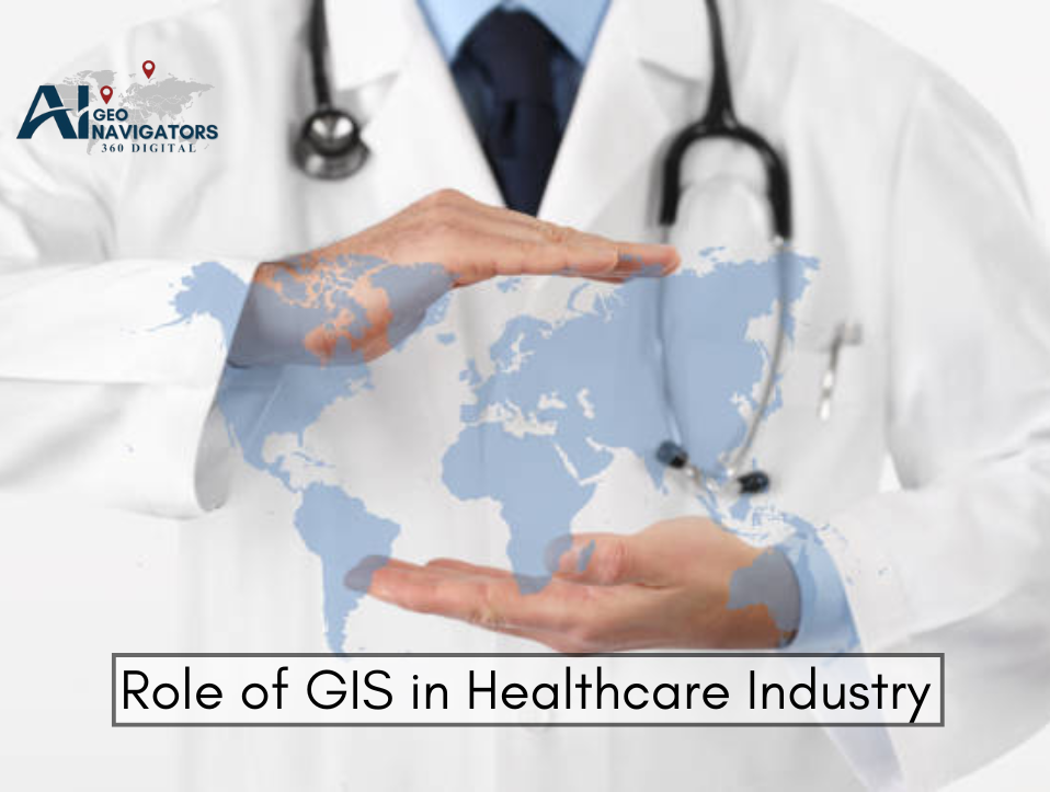
In the rapidly evolving landscape of modern medicine, data-driven decision-making is no longer optional, it’s essential. Geographic Information Systems (GIS) have emerged as one of the most powerful tools for spatial data visualization and analysis in the healthcare industry.
By combining mapping technology with real-time data analytics, GIS provides actionable insights that enhance public health management, disease surveillance, emergency response, and resource optimization.
With global health challenges such as pandemics, climate-sensitive diseases, and unequal healthcare distribution, the integration of GIS in healthcare systems has never been more critical.
From tracking virus outbreaks to identifying healthcare deserts, GIS enables professionals to make informed, location-based decisions that save lives and reduce costs.
Table of Contents
ToggleGIS in Healthcare?
GIS or Geographic Information Systems, is a technology that captures, stores, analyzes, and visualizes spatial and geographic data. In healthcare, GIS helps professionals understand patterns, relationships, and trends by layering medical data on maps, charts, and dashboards. This spatial perspective allows stakeholders to grasp complex health issues in real-world geographic contexts.
For example, by mapping the spread of infectious diseases, GIS tools can reveal hotspots and help predict future outbreaks. It also assists hospitals and policymakers in identifying underserved communities, planning vaccination campaigns, and optimizing healthcare facility placement. In short, GIS serves as a bridge between data and decisions in the medical field.
Applications of GIS in the Healthcare Industry
GIS helps healthcare professionals map patient trends, improve access, and respond to emergencies faster.1. Disease Surveillance and Outbreak Mapping
One of the most prominent uses of GIS in healthcare is tracking and monitoring disease outbreaks. During the COVID-19 pandemic, GIS dashboards like the one developed by Johns Hopkins University became essential for governments, health organizations, and the public. These tools provided real-time data on case counts, transmission trends, and vaccination progress.
Beyond pandemics, GIS is vital in managing seasonal diseases like dengue, malaria, or influenza. By identifying clusters and mapping infection rates, public health departments can issue alerts, launch preventive measures, and allocate resources efficiently. This spatial analysis helps predict future outbreaks and supports proactive healthcare planning.
2. Healthcare Accessibility and Planning
Healthcare equity depends on geographic accessibility. GIS is used to analyze the distribution of hospitals, clinics, pharmacies, and other medical services. This application highlights regions that lack proper access, commonly known as healthcare deserts. Planners and governments use GIS data to decide where to establish new facilities for maximum impact.
Furthermore, GIS supports transportation planning for emergency medical services (EMS), ensuring ambulances and medical teams reach patients quickly. Accessibility models consider road networks, traffic conditions, and population density, helping to minimize response times and improve patient outcomes.
3. Resource Allocation and Health Infrastructure Management
Efficient resource management is vital in healthcare systems, especially during crises. GIS enables the mapping of resources like ICU beds, ventilators, medical staff, and vaccine stockpiles. Hospitals can use GIS to track availability, movement, and demand in real time, ensuring a balanced allocation of supplies across different regions.
For instance, during natural disasters or public health emergencies, GIS platforms help government agencies allocate mobile clinics, distribute relief packages, and deploy emergency response units. This spatial awareness boosts transparency, accountability, and responsiveness in resource management.
4. Environmental Health and Risk Assessment
Environmental factors such as air pollution, water quality, and climate change significantly affect public health. GIS plays a critical role in monitoring these environmental variables and correlating them with health outcomes. For example, researchers can map asthma incidences alongside air quality data to study exposure risks in urban areas.
GIS is also used in epidemiological studies to evaluate how proximity to hazardous sites (like waste dumps or industrial zones) influences chronic disease rates. This geospatial analysis supports policy development, health risk mitigation, and preventive healthcare strategies.
5. Epidemiology and Population Health Research
Epidemiologists use GIS to analyze population health trends across various geographic regions. With spatial analytics, researchers can identify high-risk populations, demographic health disparities, and localized social determinants of health (SDOH). These insights guide targeted health interventions and policy formulation.
GIS-based studies have helped uncover correlations between geographic isolation and mental health, obesity trends in urban versus rural areas, and the prevalence of lifestyle diseases in specific ethnic communities. These insights are essential for designing personalized public health programs that meet local needs.
6. Emergency Preparedness and Disaster Response
When disasters strike, whether earthquakes, floods, or disease outbreaks, GIS becomes indispensable. Emergency management teams use it to map affected areas, track the spread of health hazards, and prioritize high-risk zones for immediate intervention. The ability to visualize health risks in real time greatly enhances preparedness and response efforts.
GIS also helps simulate different disaster scenarios, enabling authorities to develop contingency plans. For example, hospitals can identify backup locations, model evacuation routes, and plan for surge capacity in intensive care units. These strategies improve resilience and save lives during emergencies.
7. Remote Patient Monitoring and Home Healthcare
With the rise of telemedicine and remote healthcare delivery, GIS supports location-based services for chronic disease management and elderly care. By integrating GIS with wearable devices and electronic health records (EHRs), healthcare providers can monitor patients in rural or underserved regions and deliver timely interventions.
For instance, GIS helps care coordinators understand where high-risk patients live and schedule home visits accordingly. This data-driven care planning improves efficiency, reduces hospital readmissions, and ensures continuous patient engagement in long-term treatments.
How Ai Geo Navigator Empowers Healthcare Organizations
In the ever-evolving world of healthcare, data-driven decision-making is no longer optional, it’s essential. Ai Geo Navigator equips healthcare organizations with cutting-edge GIS and AI-powered tools to enhance planning, optimize service delivery, and respond effectively to patient needs. Here’s how this powerful platform empowers hospitals, clinics, and public health institutions:
1. Strategic Location-Based Planning for Healthcare Services
Ai Geo Navigator enables healthcare organizations to make smarter location-based decisions by visualizing demographic data, patient distribution, and healthcare infrastructure on interactive maps. This spatial awareness helps identify underserved regions, monitor service gaps, and strategically plan the placement of new clinics, mobile health units, or telemedicine centers.
With Ai Geo Navigator, administrators can align investments with real community needs, ensuring healthcare equity across urban and rural zones. Whether planning a vaccination drive or establishing a new dialysis center, the platform turns location intelligence into actionable strategies.
Key capabilities include:
- Mapping high-demand areas for medical services
- Identifying health deserts and resource voids
- Population-based service coverage analysis
2. Efficient Resource Allocation and Infrastructure Management
One of the biggest challenges in healthcare is managing limited resources effectively. Ai Geo Navigator supports hospitals and public health departments by providing real-time visibility into the status and location of resources like hospital beds, ambulances, ventilators, and staff.
Administrators can forecast shortages, redirect assets, and improve operational efficiency across facilities. The platform also allows users to simulate different scenarios, helping teams prepare for seasonal surges or emergency events with optimal resource placement.
Benefits include:
- Asset tracking and utilization mapping
- Predictive analysis for resource planning
- Scenario modeling for emergency preparedness
3. Enhanced Emergency Response and Disaster Management
In emergencies, every second counts. Ai Geo Navigator integrates live traffic data, weather patterns, and real-time alerts to optimize emergency medical services (EMS) routing and hospital response coordination. It helps EMS teams find the fastest route, avoid congestion, and locate the nearest available facility.
In disaster scenarios like floods, earthquakes, or pandemics, the platform offers situational awareness through dynamic mapping. This allows healthcare systems to deploy mobile units, create field hospitals, and activate rapid-response protocols where they’re needed most.
Use cases include:
- Real-time ambulance and EMS routing
- Visualizing incident hotspots and affected zones
- Coordinating disaster response from centralized dashboards
4. Epidemiological Surveillance and Public Health Monitoring
Ai Geo Navigator plays a pivotal role in tracking disease outbreaks, monitoring vaccination campaigns, and understanding the geographic spread of illnesses. It aggregates data from multiple sources, visualizes trends, and supports predictive modeling to help public health agencies act swiftly and accurately.
By identifying clusters and correlating health issues with environmental or socioeconomic factors, healthcare officials can design targeted interventions. This leads to more effective allocation of resources and improved community health outcomes.
Applications include:
- Disease heatmaps and case clustering
- Vaccination rollout tracking by region
- AI-based forecasting of outbreak trends
5. Improved Accessibility and Equity in Healthcare Delivery
Ensuring that healthcare reaches everyone regardless of their location is a major goal for governments and institutions. Ai Geo Navigator helps bridge this gap by identifying communities with limited access to care, considering factors like distance, transport infrastructure, and population vulnerability.
The platform supports the design of outreach programs, mobile health units, and telehealth services that are tailored to the needs of isolated or marginalized populations. This ensures that no one is left behind in the pursuit of better health.
Solutions provided:
- Accessibility mapping (rural and urban)
- Prioritizing care for vulnerable populations
- Planning outreach and telemedicine deployment
Real-World Examples of GIS in Healthcare
1. Johns Hopkins COVID-19 Dashboard
During the COVID-19 pandemic, Johns Hopkins University developed a real-time GIS dashboard that tracked global infection rates, recoveries, and fatalities. This tool was instrumental in informing global response strategies and became a model for future public health mapping.
The dashboard integrated case data, healthcare capacity, and testing rates, making it a powerful tool for decision-makers and the general public alike. It demonstrated the scalability and critical value of GIS in pandemic response.
2. Esri’s Health GIS Solutions
Esri, a leading GIS software provider, has collaborated with global healthcare organizations to develop spatial tools that assist with hospital site selection, patient flow optimization, and health equity analysis. Their ArcGIS Health platform allows healthcare planners to integrate clinical data with social and environmental determinants.
Esri’s tools have been adopted by the CDC, WHO, and many local health departments to improve planning, monitoring, and intervention strategies. These real-world implementations validate GIS’s essential role in strategic healthcare operations.
Challenges and Limitations
Despite its vast potential, GIS adoption in healthcare faces several challenges. These include high implementation costs, limited technical expertise, data privacy concerns, and integration complexities with legacy systems. In developing regions, infrastructure limitations further restrict the scalability of GIS solutions.
Data standardization is another key issue, health records often vary in format and accuracy, making it difficult to produce clean, actionable spatial data. Moreover, healthcare data is sensitive, requiring robust security protocols when used in GIS applications.
Future of GIS in Healthcare
The future of GIS in healthcare is promising and data-rich. As AI and machine learning converge with GIS, the next generation of healthcare mapping tools will offer predictive insights, real-time risk assessment, and fully integrated patient care coordination. With growing emphasis on personalized medicine and smart cities, GIS will be at the forefront of digital health transformation.
Mobile GIS, IoT-based health tracking, and 3D spatial modeling will soon become common in emergency planning, patient engagement, and chronic disease monitoring. The fusion of geospatial science with health informatics marks a new era of precision public health.
Conclusion
Geographic Information Systems (GIS) have revolutionized the healthcare industry by enabling spatial intelligence and data-driven planning. From disease surveillance and healthcare accessibility to emergency response and environmental health, GIS is an indispensable tool for improving public health outcomes.
As healthcare systems strive for efficiency, equity, and resilience, GIS offers the foundation for smarter decisions, better patient care, and more responsive public health infrastructure. With its applications expanding every day, GIS is not just a technology, it’s a catalyst for healthier societies.


