Geospatial technologies have become essential tools for understanding, analyzing, and solving complex challenges in today’s world. Geographic Information Systems (GIS) and Remote Sensing (RS) provide powerful means to capture, store, analyze, and visualize spatial data.
However, the rapid increase in the availability of satellite imagery, drone-based surveys, LiDAR datasets, and geospatial big data has created new challenges in terms of storage, processing, and interpretation.
This is where Artificial Intelligence (AI) particularly machine learning (ML) and deep learning (DL) steps in. AI provides advanced computational techniques to identify patterns, automate processes, and generate accurate predictions from massive datasets that traditional methods would struggle to process.
The integration of AI with GIS and RS has the potential to revolutionize sectors like agriculture, climate science, disaster management, urban planning, transportation, and environmental monitoring. This article explores in detail the applications, benefits, challenges, and future prospects of AI in GIS and remote sensing.
Table of Contents
ToggleAI and GIS Transforming Spatial Analysis
Artificial Intelligence is revolutionizing how GIS analyze and interpret spatial data. Traditional GIS focused mainly on storing, managing, and visualizing maps, but AI brings automation and intelligence to the process. With machine learning and deep learning, GIS can now recognize patterns, predict future trends, and detect changes in real time. This transformation enables smarter urban planning, disaster risk reduction, and environmental monitoring. In short, AI makes GIS not just a mapping tool, but a decision making engine for solving complex global challenges.
Automated Data Classification in GIS & RS using AI
One of the major tasks in GIS is land use/land cover (LULC) classification. Traditionally, this required manual digitization and supervised classification techniques. AI simplifies this process by:
- Using machine learning algorithms like Random Forest, Support Vector Machines, and Gradient Boosting to improve classification accuracy.
- Applying deep learning models (CNNs, U-Net, ResNet) for object recognition, road extraction, and building footprint detection from aerial images.
For example, CNN-based models can automatically extract road networks from high-resolution satellite imagery, reducing weeks of manual digitization into hours.
How Artificial Intelligence Enhances Predictive Spatial Modeling in GIS and Remote Sensing
Predictive spatial modeling is the process of using historical geospatial data, mathematical algorithms, and Artificial Intelligence (AI) techniques to forecast future patterns, events, or changesacross a geographic area. In GIS, it means going beyond static mapping to create dynamic models that anticipate what might happen in the future.
For example:
- Flood Risk Prediction By combining rainfall history, topography (DEM), soil type, and land cover data, AI models can identify which areas are likely to flood during heavy rainfall.
- Urban Growth Forecasting Using past urban sprawl data and population trends, predictive models estimate how cities will expand in the next 10–20 years.
- Epidemic Spread Modeling Spatial models can predict how diseases might spread based on population density, climate, and mobility data.
AI enhances predictive spatial modeling by analyzing large, complex datasets, recognizing hidden patterns, and producing highly accurate and actionable forecasts. This helps governments, planners, and organizations take proactive measures instead of reactive responses.
Real-Time Monitoring with AI by Using GIS & Remote Sensing
Real-time monitoring means observing and analyzing changes as they happen, without delays. When combined with AI, GIS and Remote Sensing become far more powerful in tracking natural and human activities instantly. AI algorithms process incoming satellite images, UAV (drone) data, or IoT sensor feeds on-the-fly, allowing decision-makers to act immediately instead of waiting for manual analysis.
How it works:
- Data Streams Satellites (e.g., Sentinel, Planet Scope), drones, and ground-based sensors continuously send images and readings.
- AI Processing Machine learning and deep learning algorithms (CNN, RNN, LSTM) rapidly analyze these data streams to detect anomalies, classify features, or map changes.
- Decision Outputs Processed results are displayed in GIS dashboards, mobile apps, or command centers for immediate action.
Applications of Real-Time Monitoring with AI by Using GIS & Remote Sensing:
- Flood Mapping AI detects inundated areas within hours of rainfall using radar imagery, guiding rescue teams.
- Wildfire Tracking Thermal satellite data analyzed by AI shows fire boundaries in near real-time, supporting firefighting operations.
- Crop Monitoring AI analyzes drone data to detect pest outbreaks or water stress instantly, helping farmers take quick action.
- Traffic and Urban Systems AI-driven GIS maps monitor congestion, air pollution, or accidents as they happen in smart cities.
- Environmental Monitoring Oil spills, deforestation, or illegal mining activities can be identified and flagged in real-time.
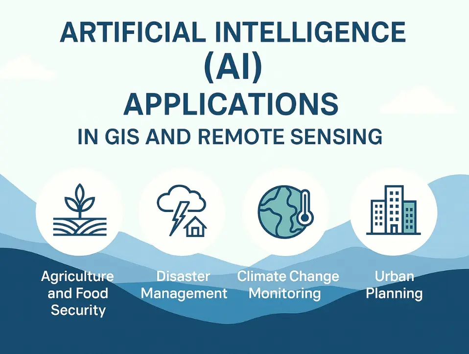
Key Application Domains of AI in GIS and Remote Sensing
Artificial Intelligence is reshaping how GIS and Remote Sensing are applied across different sectors. From agriculture(crop monitoring, yield prediction) to disaster management (floods, wildfires, landslides), AI enables faster and more accurate insights. It also supports climate change monitoring, urban planning, and natural resource management, making spatial analysis smarter, real-time, and more impactful for decision-making.
Agriculture and Food Security Application of AI in GIS and Remote Sensing
AI combined with GIS and Remote Sensing is transforming agriculture into a more precise, data-driven industry. Remote sensing imagery (e.g., Sentinel, Landsat, and UAV) provides multispectral and hyper spectral data that AI algorithms analyze to detect crop health, classify crop types, and predict yields. Machine learning models, such as Random Forests and CNNs, can identify pest infestations, water stress, or nutrient deficiencies in real time.
- Precision farming: Optimizing irrigation, fertilization, and pesticide use.
- Yield forecasting: Predicting harvest volumes to guide supply chains.
- Early warning systems: Detecting crop diseases and drought stress before they cause major losses.
This enables farmers and policymakers to increase productivity while ensuring sustainable food security.
Disaster Risk Reduction and Emergency Management Application of AI in GIS and Remote Sensing
Disasters like floods, landslides, wildfires, and earthquakes require rapid detection and response. AI-powered GIS and RS enable real-time disaster monitoring and damage assessment. For example, radar data analyzed by deep learning can detect flood-affected areas within hours, even under cloud cover.
- Flood mapping using Sentinel-1 SAR and AI-based water body extraction.
- Landslide susceptibility mapping with machine learning models trained on slope, lithology, and rainfall data.
- Wildfire detection and boundary monitoring using thermal RS and CNNs.
These systems help emergency agencies plan evacuations, allocate resources, and minimize human and economic losses.
Climate Change Monitoring and Environmental Sustainability Application of AI in GIS and Remote Sensing
AI has become central in climate action by integrating RS datasets (NDVI, VHI, SPI) with predictive analytics. Time-series analysis using AI models (e.g., LSTM, RNN) helps identify long-term climate patterns, drought progression, and glacier retreat.
- Monitoring deforestation, desertification, and biodiversity loss.
- Tracking greenhouse gas emissions using hyper spectral imagery.
- Modeling future climate scenarios for policy planning.
This domain is critical for meeting global commitments like the Sustainable Development Goals.
Urban Planning and Smart Cities Application of AI in GIS and Remote Sensing
Urbanization poses challenges in infrastructure, transportation, and resource management. AI-enhanced GIS allows urban planners to model city growth and optimize services. Remote sensing data provides insights into land use/land cover (LULC) changes, while AI predicts future sprawl and resource demand.
- Monitoring informal settlements and housing patterns.
- Optimizing traffic management with AI-GIS integration and IoT sensors.
- Air pollution mapping and forecasting for healthier urban environments.
In smart cities, AI-driven GIS enables real-time monitoring of utilities, waste, and transport systems, creating efficient and sustainable living environments.
Natural Resource Management Application of AI in GIS and Remote Sensing
AI helps governments and industries manage forests, water, and minerals more sustainably. By analyzing RS imagery, AI models can classify vegetation, estimate biomass, and monitor forest health.
- Forest fire risk prediction.
- Water quality and groundwater recharge monitoring.
- Mineral exploration using hyper spectral imaging and anomaly detection.
Such applications reduce overexploitation while ensuring efficient use of natural resources.
AI Applications in Health and Epidemiology Using GIS and Remote Sensing
The COVID-19 pandemic demonstrated how AI, GIS, and RS could track disease spread and support health interventions. By combining spatial data on population density, mobility, and climate, predictive AI models help forecast where outbreaks may occur.
- Mapping mosquito-borne disease risks (malaria, dengue).
- Predicting air pollution-related illnesses.
- Monitoring hospital accessibility and health infrastructure gaps.
This domain is expected to grow significantly with the integration of spatial epidemiology and AI.
In conclusion, Artificial Intelligence has transformed GIS and Remote Sensing into intelligent decision-making systems. From agriculture to disaster management and climate monitoring, AI enables more accurate, timely, and actionable insights. Despite challenges like data quality and computational costs, advancements in deep learning, cloud computing, and open-access satellite data promise a more sustainable and resilient future.


