Transforming Urban Development with Smart Geospatial Intelligence
AI Geo Navigator uses smart geospatial technology to help cities grow in a better and more organized way. By combining maps, satellite images, and AI, it gives urban planners clear information about land use, traffic, environment, and future growth. This helps them make faster, smarter decisions for building roads, housing, parks, and public services—leading to safer, greener, and more efficient cities.
Our Services for Urban Planning
Site Selection & Land Suitability
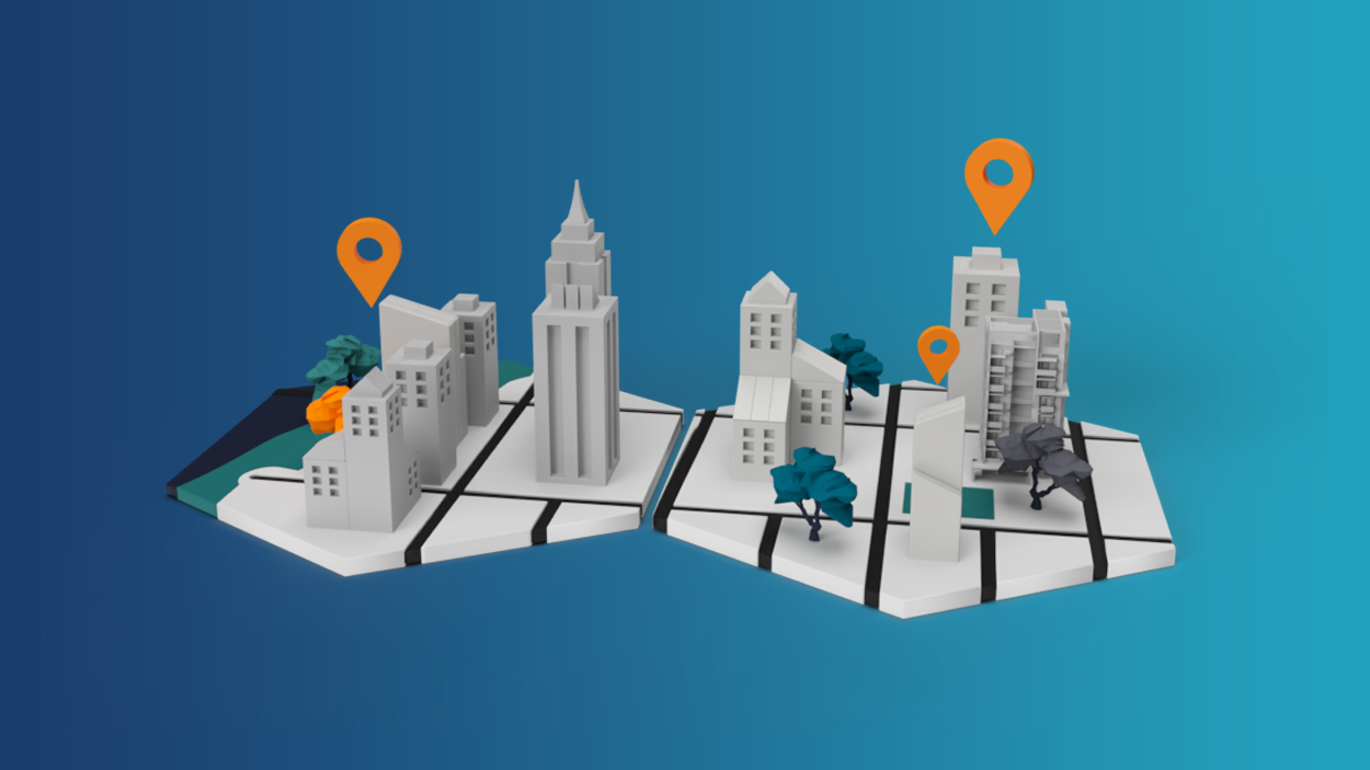
Our GIS tools help identify optimal locations for housing, commercial zones, green spaces, and public infrastructure based on zoning laws, environmental factors, and accessibility. Our GIS-based suitability models consider factors like terrain, accessibility, environmental constraints, and zoning laws to help select the most appropriate locations for new infrastructure, public facilities, and development projects. Our solutions integrate real-time data, remote sensing, and inputs from stakeholders to deliver actionable insights that reduce project risks and optimize land use efficiency. By identifying areas with high development potential and assessing potential challenges upfront, we help developers, urban planners, and policymakers make data-driven decisions that improve infrastructure planning and resource allocation.
Smart Mobility & Transportation Planning
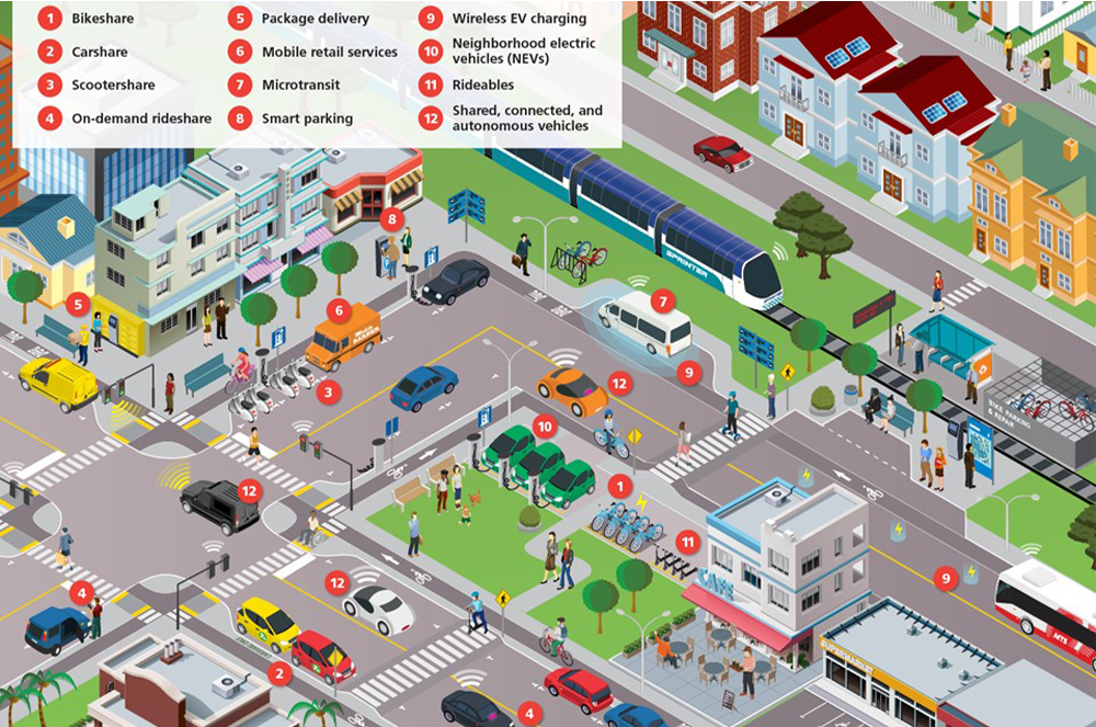
Using traffic density, public transport routes, and pedestrian flow data, we optimize transportation networks for smoother, safer, and more efficient mobility within urban areas. Our GIS-based transport planning solutions integrate multiple layers of spatial and real-time data to provide a comprehensive view of how people and vehicles move through a city. These insights support the development of multi-modal transportation systems that effectively balance private vehicles, public transit, and non-motorized options like walking and cycling. We offer services such as traffic congestion analysis, route optimization for public transit, and walkability assessments to support smarter planning. Our solutions help design multi-modal transport systems that balance private, public, and non-motorized transport option
3D Modeling & Urban Simulation
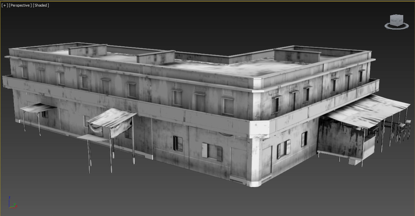
Our 3D modeling and urban simulation services bring cities to life by transforming 2D geospatial data into realistic, interactive three-dimensional environments. These digital city models provide urban planners, architects, and decision-makers with an immersive view of both existing infrastructure and proposed developments—helping them visualize, analyze, and plan more effectively.
We offer high-resolution 3D visualizations for buildings, roads, terrain, and utility infrastructure, as well as urban scenario simulations to evaluate the impact of new developments on skyline, shadows, wind flow, and sunlight exposure.
Looking for Professional Approach and Quality Services?
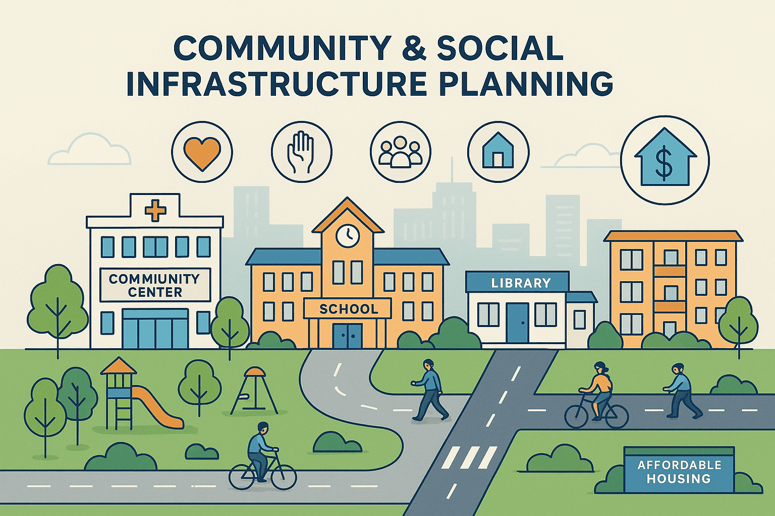
Community & Social Infrastructure Planning
Using spatial data analysis, demographic trends, and accessibility mapping, we support urban planners in identifying service gaps, optimizing facility placement, and ensuring balanced infrastructure development across neighborhoods. Our GIS-driven services include education and healthcare facility mapping, green space distribution analysis, public service coverage modeling, and social vulnerability assessments to help prioritize investment in underserved communities. By combining geospatial intelligence with socioeconomic data, we enable data-informed decisions that enhance equity, improve quality of life, and ensure that critical services are accessible to all residents—especially in rapidly growing or historically marginalized areas.
Urban Growth Tracking Services
Using cutting-edge GIS technology, remote sensing, and satellite imagery, we help city planners, developers, and policymakers understand how urban areas are expanding and where future growth is likely to occur.
Our services include land use and land cover change detection, built-up area monitoring, urban sprawl analysis, and time-series visualization to track development trends over months or years. With clear, up-to-date maps and data, we support smart, sustainable urban planning that meets long-term goals. We also offer urban heat island mapping, green space analysis, and public service coverage analysis to help cities build resilient, equitable, and environmentally conscious urban areas.
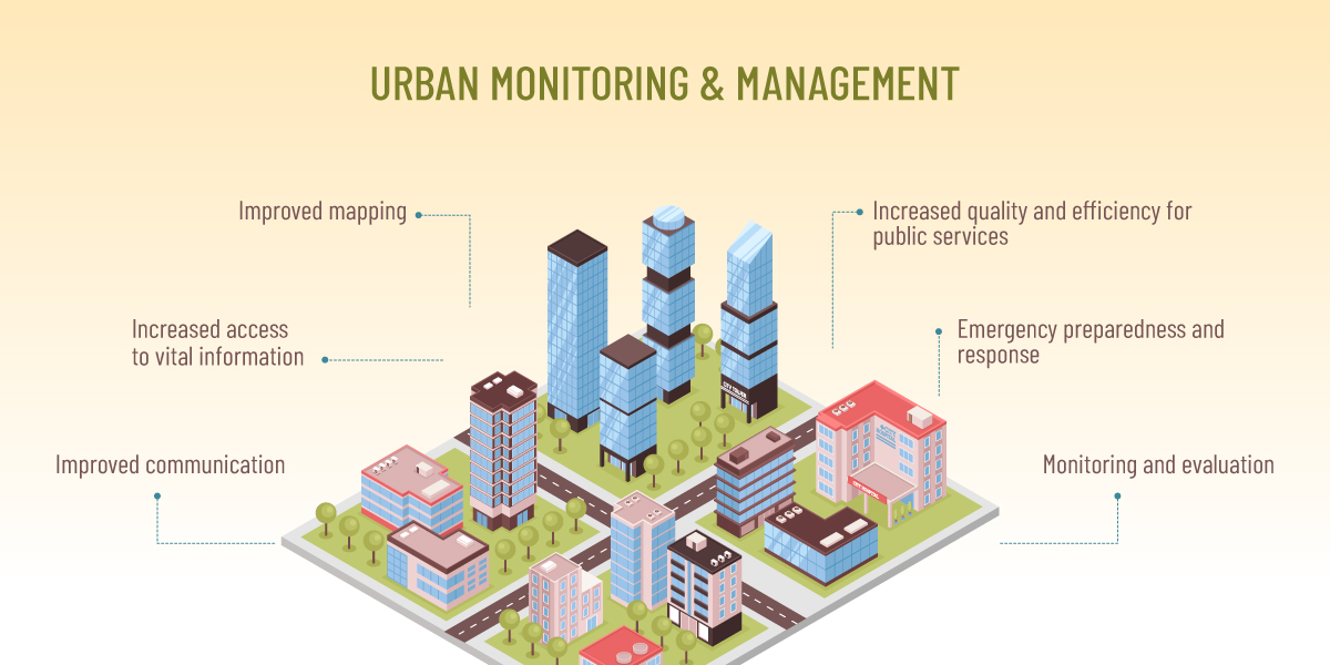
Utility Mapping (Sewer, Power)
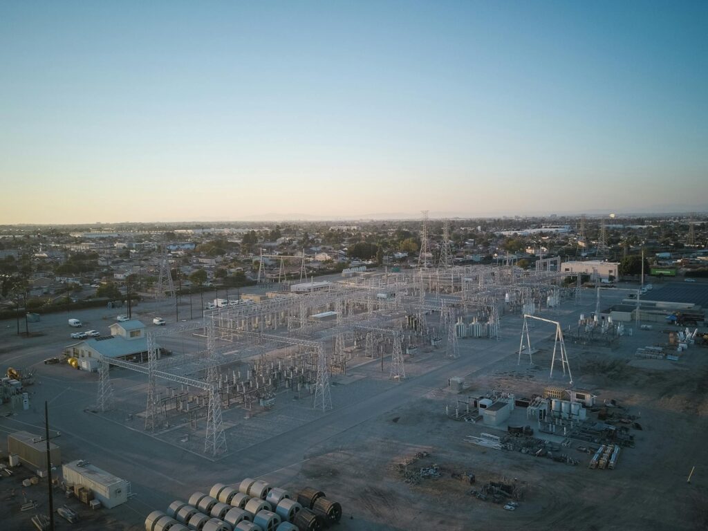
Accurate utility mapping is essential for managing and maintaining the critical infrastructure that powers and supports urban life. Our Utility Mapping services offer precise, up-to-date maps of essential utility networks, including sewer systems, power grids, water supply lines, and other underground infrastructure. By leveraging GIS technology, we ensure that cities and utilities can optimize maintenance, reduce costs, and plan for future infrastructure expansions efficiently. Our services support asset management, maintenance scheduling, and infrastructure planning to ensure seamless utility operations. We help utilities minimize service disruptions, prevent costly accidents, and improve the efficiency of system upgrades. Through real-time monitoring, GIS-based network analysis, and spatial data integration, our solutions enable proactive management of utility systems.
LET’S DISCUSS YOUR GIS PROJECT
Our experts are ready to guide you in finding the perfect GIS solutions for your needs.
Contact Us
Street 92, Building no. 63 Service road I-8/4 near Dar-e-Arqam school
info@aigeo360.com
+92 (51) 8740600
